
Population 7,193 (2011) | Time zone IST (UTC+5:30) Vehicle registration WB Local time Thursday 10:46 AM | |
 | ||
Weather 28°C, Wind SE at 8 km/h, 55% Humidity | ||
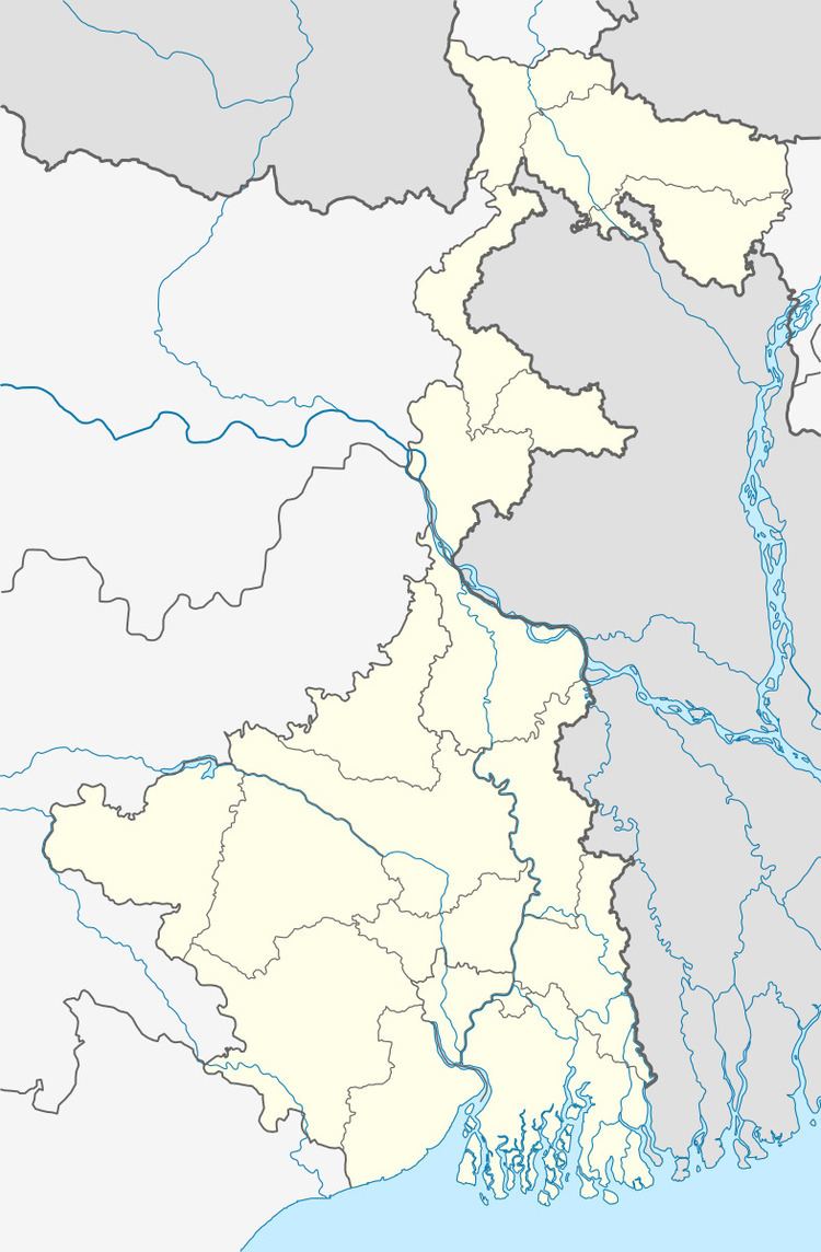
Bara Bamonia is a census town in Habra II CD Block in Barasat Sadar subdivision, in North 24 Parganas district in the state of West Bengal, India. Habra police station serves this town.
Contents
Map of Bara Bamonia, West Bengal
Demographics
As per 2011 Census of India Bara Bamonia had a total population of 7,193, of which 3,683 (51%) were males and 3,510 (49%) were females. Population below 6 years was 756. The total number of literates in Bara Bamonia was 5,745 (89.25 % of the population over 6 years).
As of 2001 India census, Bara Bamonia had a population of 6174. Males constitute 51% of the population and females 49%. Bara Bamonia has an average literacy rate of 73%, higher than the national average of 59.5%; with 55% of the literates being male and 45% being female. 13% of the population is under 6 years of age.
Healthcare
North 24 Parganas district has been identified as one of the areas where ground water is affected by arsenic contamination.