
Telephone prefix 45 | Time zone CET (UTC+1) Population 16,638 (2010) | |
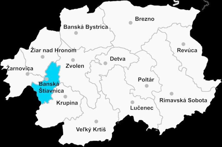 | ||
Banská Štiavnica District (okres Banská Štiavnica) is a district in the Banská Bystrica Region of central Slovakia. Until 1918, most of the present-day district belonged to the county of Kingdom of Hungary of Hont, apart from Močiar and Podhorie in the north (Tekov) and Kozelník in the east (Zvolen county).
Contents
Map of Bansk%C3%A1 %C5%A0tiavnica District, Slovakia
Municipalities
References
Banská Štiavnica District Wikipedia(Text) CC BY-SA