
Country Thailand Postal code 60180 Area 909.9 km² | Time zone THA (UTC+7) Geocode 6005 Province Nakhon Sawan Province | |
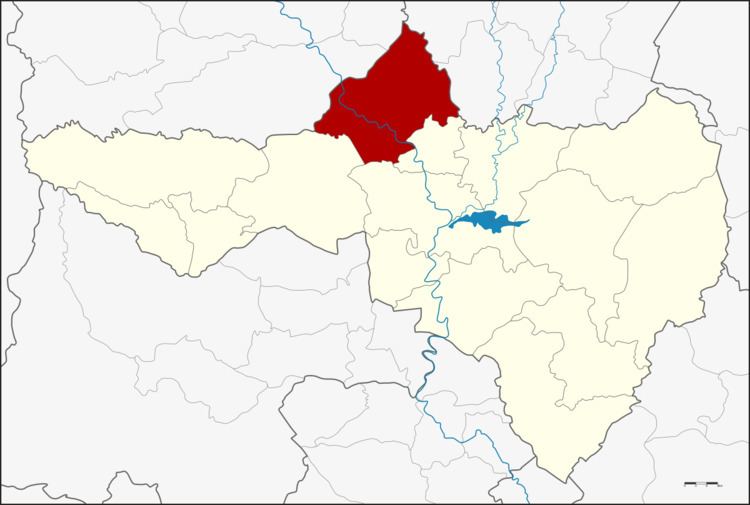 | ||
Banphot Phisai (Thai: บรรพตพิสัย) is the northernmost district (amphoe) of Nakhon Sawan Province, northern Thailand.
Contents
Map of Banphot Phisai District, Nakhon Sawan, Thailand
History
At first, the central tambon was Tambon Ta Sang. In 1910, the government moved the district office to the west bank of the Ping River in Tambon Tha Ngiew area and officially upgraded the district at the same time.
The name Banphot Phisai comes from the mountains in the district that look likes row of Prang.
Geography
Neighboring districts are (from the northeast clockwise) Bueng Na Rang and Pho Thale of Phichit Province, Kao Liao, Mueang Nakhon Sawan and Lat Yao of Nakhon Sawan Province, and Khanu Woralaksaburi and Bueng Samakkhi of Kamphaeng Phet Province.
Administration
The district is subdivided into 13 subdistricts (tambon), which are further subdivided into 117 villages (muban). The township (thesaban tambon) Banphot Phisai covers parts of the tambon Tha Ngio and Charoen Phon. There are further 13 Tambon administrative organizations (TAO).