
Country Thailand Time zone THA (UTC+7) Geocode 9503 Population 58,616 (2014) | Seat Bannang Sata Postal code 95130 Area 629 km² Province Yala Province | |
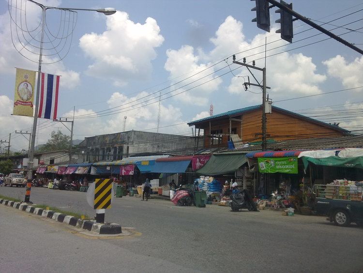 | ||
Bannang Sata (Thai: บันนังสตา) is a district (Amphoe) in the southern part of Yala Province, southern Thailand.
Contents
- Map of Bannang Sata District Yala Thailand
- History
- Geography
- Central administration
- Local administration
- References
Map of Bannang Sata District, Yala, Thailand
History
The name Bannang Sata is actually the Thai corruption of Benang Setar (Jawi: بنڠ ستار), its original Malay name. "Benang" means sewing thread, while "setar" is a tree with small and sour fruit (Bouea macrophylla).
In the past the district was named Ba Cho (บาเจาะ) controlled by Mueang Raman, created in 1907. The name Ba Cho is actually the Thai corruption of Bachok (Jawi: باچوق), its original Malay name. Later when the government reformed administration, the district office was moved to a new location and renamed to be Bannang Sata.
Geography
Neighboring districts are (from the northwest clockwise) Yaha, Krong Pinang, Raman of Yala province, Rueso, Si Sakhon of Narathiwat province, Than To of Yala province again and the state Kedah of Malaysia.
Central administration
The district Bannang Sata is subdivided into 6 subdistricts (Tambon), which are further subdivided into 50 administrative villages (Muban).
Local administration
There are 2 subdistrict municipalities (Thesaban Tambon) in the district:
There are 5 subdistrict administrative organizations (SAO) in the district: