Population 210 (2011 census) State electorate(s) Goulburn Postal code 2580 | Postcode(s) 2580 Federal Division(s) Hume Local time Thursday 12:29 PM | |
 | ||
Weather 22°C, Wind SE at 8 km/h, 65% Humidity | ||
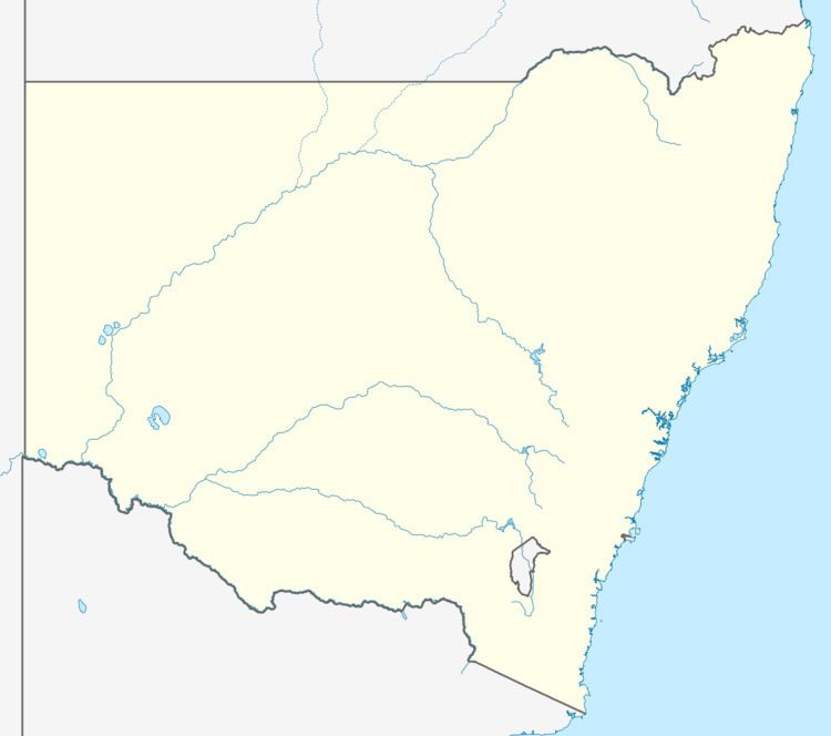
Bannaby is a locality in the Southern Tablelands of New South Wales, Australia in Upper Lachlan Shire. It is located near the township of Taralga, on the Bannaby road.
Map of Bannaby NSW 2580, Australia
The locality consists of an Anglican Church and some woolsheds.
Tarlo River National Park rises in the southern part of Bannaby, while the Blue Mountains National Park and Wombeyan Caves are located about 5 kilometres to the north.
The suburb is roughly equivalent to the cadastral parish of Bannaby in the County of Argyle
References
Bannaby, New South Wales Wikipedia(Text) CC BY-SA
