District Birbhum Website birbhum.nic.in | Time zone IST (UTC+5:30) Elevation 54 m | |
 | ||
Banior is a village in Nalhati-i Block in Birbhum District in the Indian state of West Bengal near the West Bengal / Jharkhand border.
Contents
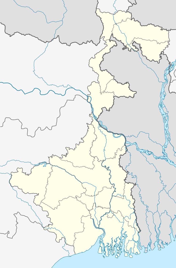
Map of Banior, West Bengal
It belongs to Burdwan Division. It is located 63 km to the north of District headquarters Suri, Birbhum. 4 km from Nalhati-I. 237 km from State capital Kolkata.
Banior Pin code is 731243 and postal head office is Nalhati Township. telephone or STD code is 03465.
Bautia (6 km), Kalitha (7 km), Chatra (8 km), Horisara (9 km), Ayas (10 km) are the nearby villages to Banior. Banior is surrounded by Nalhati-II Block to the south, Murarai-I Block to the north, Murarai-II Block to the north, Pakuria Block to the west. Rampurhat, Pakaur, Paschim Punropara, Dhulian are the nearby cities to Banior.
This place is in the border of the Birbhum District and Pakur District. Pakur District Maheshpur is North towards this place. It is near to the Jharkhand State Border.
Geography
Banior is located at 24.3°N 87.82°E.It has an average elevation of 40 metres. It is on the Chhotonagpur plateau. Few small portion of hill with low altitude can be visible outside the village. The soil of this part of Birbhum resembles that of Bankura and Purulia as "Lalmatir Desh" (land of red soil). Nearest National Highway is NH-60.
Regional places
Regional places in Banior is Durga Mandir, Kali Tala(math), Shib Mandir, Shoni Debotar Mandir, Kalitala more, Bhattaj Durga Mandir.
Education
One Higher Secondary School named Banior Aswini Kumar High School (HS), 4 Primary School, and few Aganwari School.
Languages
The local languages are Bengali and Santali.
