
Native name แม่น้ำบางปะกง Basin area 17,000 km² | Length 294 km | |
 | ||
Basin size 17,000 km (6,600 sq mi) Bridges Bang Na Expressway, Bang Pakong railway bridge | ||
Wat saman rattanaram on the bang pakong river chachoengsao thailand 9
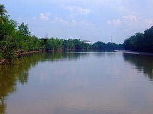
The Bang Pakong (Thai: แม่น้ำบางปะกง, [baːŋ pa.koŋ]) is a river in east Thailand. The river originates at the confluence of the Nakhon Nayok River and the Prachinburi River at Pak Nam Yothaka in Ban Sang District, Prachinburi Province. It empties into the Gulf of Thailand in the northeastern tip of the Bay of Bangkok. The watershed of the Bang Pa Kong is about 17,000 square kilometres (6,600 sq mi). It also powers a big power station near its mouth, near highway 7.
Contents
- Wat saman rattanaram on the bang pakong river chachoengsao thailand 9
- Map of Bang Pakong Thailand
- Wat saman rattanaram on the bang pakong river chachoengsao thailand 10
- TributariesEdit
- References
Map of Bang Pakong, Thailand
To protect the Irrawaddy dolphins, many fishermen on the Bang Pakong River have been persuaded by authorities to stop shrimping and 30 to 40 fishing boats have been modified so they can offer dolphin sightseeing tours.
Dvaravati settlements include Muang Phra Rot, Dong Si Mahasod, Dong Lakhon, and Ban Khu Muang. Dvaravati coins have been found at U-Taphao.