
Country Thailand Time zone ICT (UTC+7) Geocode 2404 Population 89,109 (2015) | Seat Tha Sa-an Postal code 24130 Area 257.9 km² Province Chachoengsao Province | |
 | ||
Bang Pakong (Thai: บางปะกง) is a district (amphoe) in the western part of Chachoengsao Province in central Thailand.
Contents
- Map of Bang Pakong District Chachoengsao Thailand
- History
- Geography
- Central administration
- Local administration
- References
Map of Bang Pakong District, Chachoengsao, Thailand
Bang Pakong District's name comes from the Bang Pakong River. The area has many industrial estates, including the huge gas- and oil-fired Bang Pakong Power Station.
History
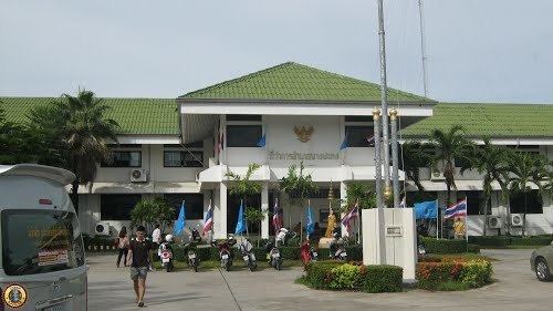
Bang Pakong District was established in 1907. The first temporary district office was a building within the Wat Bon Khongkharam. In 1908 the government moved the office to the bank of the Bang Pakong River in Tambon Tha Sa-an, which is still the location today.
Geography
Neighboring districts are (from the north clockwise) Ban Pho of Chachoengsao Province, Phan Thong, Mueang Chon Buri of Chon Buri Province, the Bay of Bangkok and Samut Prakan Province.
The important water resource is the Bang Pakong River, which empties into the Bay of Bangkok within the district. Bang Na-Trat highway runs through the district.
Central administration
The district Bang Pakong is divided into 12 sub-districts (tambon), which are further subdivided into 99 administrative villages (Muban).
Local administration
There are 10 sub-district municipalities (thesaban tambon) in the district:
There are six sub-district administrative organizations (SAO) in the district: