
Country Thailand Time zone THA (UTC+7) Geocode 2403 Population 87,500 (2015) | Seat Bang Nam Priao Postal code 24150 Area 498.7 km² Province Chachoengsao Province | |
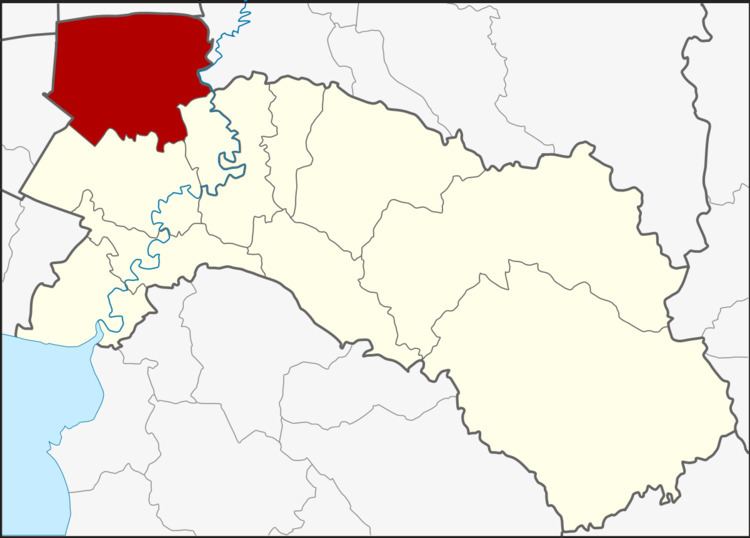 | ||
Bang Nam Priao (Thai: บางน้ำเปรี้ยว) is the northwesternmost district (Amphoe) of Chachoengsao Province, central Thailand.
Contents
- Map of Bang Nam Priao District Chachoengsao Thailand
- History
- Geography
- Central administration
- Local administration
- References
Map of Bang Nam Priao District, Chachoengsao, Thailand
History
The old location of the district center of Bang Nam Priao was in Ban Ton Samrong, Tambon Bang Khanak. In 1905 the government built the first district office in Tambon Bang Nam Priao. In 1952 the government built a new office on the north bank of Khlong Bang Khanak (Khlong Saen Saeb). The present district office was built in 1997.
Geography
Neighboring districts are (from the southeast clockwise) Khlong Khuean, Mueang Chachoengsao of Chachoengsao Province, Nong Chok of Bangkok, Lam Luk Ka of Pathum Thani Province, Ongkharak of Nakhon Nayok Province and Ban Sang of Prachinburi Province.
The important water resource is the Bang Pakong River and Khlong Saen Saeb.
Central administration
The district Bang Nam Priao is subdivided into 10 subdistrict (Tambon), which are further subdivided into 148 administrative villages (Muban).
Local administration
There are 6 subdistrict municipalities (Thesaban Tambon) in the district:
There are 8 subdistrict administrative organizations (SAO) in the district: