
Country Thailand Postal code 65110 Chief roadway Route 1114 Local time Thursday 2:12 AM Province Phitsanulok Province | Time zone Thailand (UTC+7) Geocode 650501 Elevation 42 m Population 6,585 (2005) | |
 | ||
Chief watercourse Canal to Wang Thong River Weather 24°C, Wind SW at 0 km/h, 74% Humidity Amphoes Bang Krathum District, Phitsanulok Province | ||
Bang Krathum (Thai: บางกระทุ่ม) is a subdistrict (tambon) in the Bang Krathum district of Phitsanulok Province, Thailand.
Contents
- Map of Bang Krathum Bang Krathum District Phitsanulok 65110 Thailand
- Etymology
- Geography
- Administration
- Economy
- Temples
- References
Map of Bang Krathum, Bang Krathum District, Phitsanulok 65110, Thailand
Etymology
The first element bang (Thai: บาง) means village or settlement. The second element krathum (Thai: กระทุ่ม) means bur-flower tree (Anthocephalus chinensis).
Geography
Bang Krathum's topography consists of flat, fertile lowlands. Clockwise from the north, the subdistrict is bordered by Wang Nam Khu (of Amphoe Mueang Phitsanulok), Tha Tan, Nakhon Pa Mak, Phai Lom, Ta Fo (of Amphoe Mueang Phichit in Phichit Province), Sanam Khli, Khok Salut and Ban Rai. Bang Krathum lies within the Nan Basin, which is part of the Chao Phraya Watershed. The town of Ban Bang Krathum is situated on the tambon's chief watercourse, a canal which winds through farms heading north-east to Ban Bang Kranoi in Nakhon Pa Mak, where it joins the Wang Thong River. The canal splits once between Ban Bang Krathum and Ban Bang Krathum, where a smaller branch leads due north to Ban Bueng Lam in Nakhon Pa Mak.
Administration
The subdistrict is subdivided into 11 smaller divisions called (muban), which roughly correspond to the 6 villages in Bang Krathum. Bang Krathum is administrated by a Tambon administrative organization (TAO). The muban in Bang Krathum are enumerated as follows:
Economy
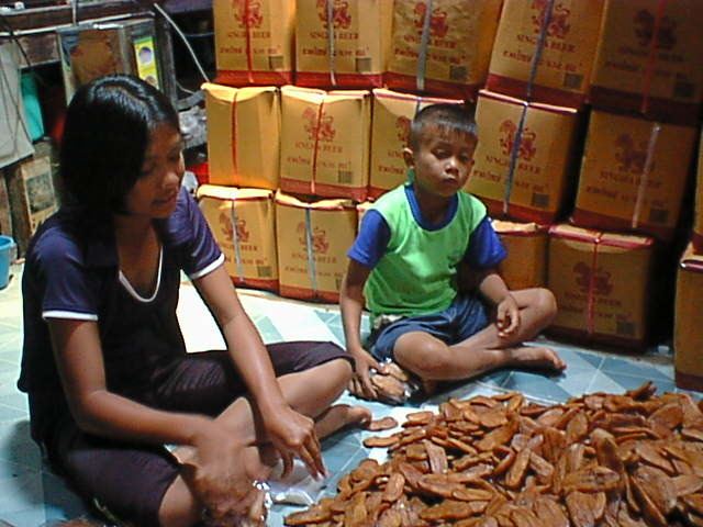
The economy of Bang Krathum is based on farming and processing banana products.
Temples
Bang Krathum is home to the following three temples: