
Country Thailand Tambon 4 Amphoe established 1986 Area 147.8 km² Province Songkhla Province | Seat Bang Klam Muban 36 Time zone THA (UTC+7) Population 30,250 (2014) | |
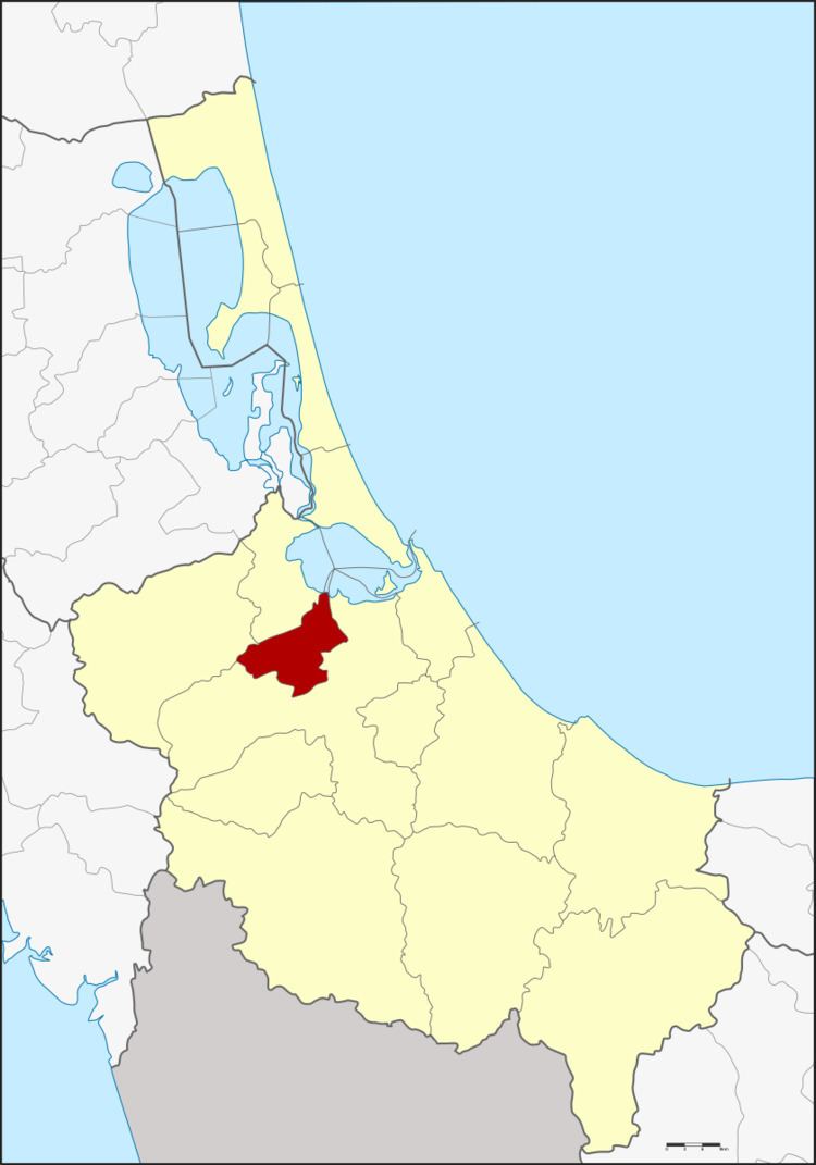 | ||
'Bang Klam ' 挽甘 (Thai: บางกล่ำ) is a district (Amphoe) of Songkhla Province, southern Thailand.
Contents
- Map of Bang Klam District Songkhla Thailand
- History
- Geography
- Central administration
- Local administration
- References
Map of Bang Klam District, Songkhla, Thailand
History
The minor district (King Amphoe) was established on January 7, 1986 by splitting off four tambon from Hat Yai district. It was upgraded to a full district on September 8, 1995.
Geography
Neighboring districts are (from the south clockwise) Hat Yai, Rattaphum and Khuan Niang. To the northeast is the Songkhla lake.
Central administration
The district Bang Klam is subdivided into 4 subdistricts (Tambon), which are further subdivided into 36 administrative villages (Muban).
Local administration
There are 2 subdistrict municipalities (Thesaban Tambon) in the district:
There are 2 subdistrict administrative organizations (SAO) in the district:
References
Bang Klam District Wikipedia(Text) CC BY-SA