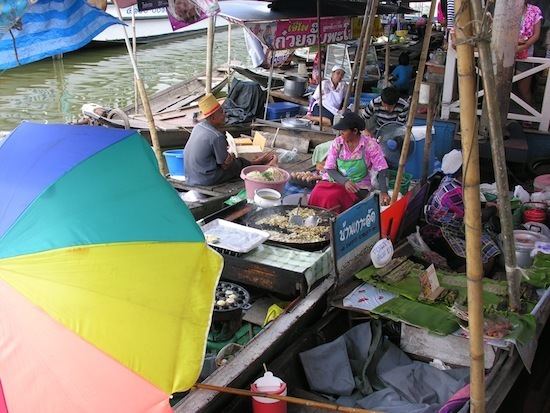
Country Thailand Postal code 24110 Area 227.9 km² Province Chachoengsao Province | Time zone THA (UTC+7) Geocode 2402 Population 45,701 (2015) | |
 | ||
Bang Khla (Thai: บางคล้า) is a district (Amphoe) of Chachoengsao Province, central Thailand.
Contents
- Map of Bang Khla District Chachoengsao Thailand
- History
- Geography
- Central administration
- Local administration
- References
Map of Bang Khla District, Chachoengsao, Thailand
History
Bang Khla district was established in 1901. The district office was located in Wat Mai Bang Khla, nowadays in Tambon Ban Suan. Bang Khla is the name of the village Ban Bang Khla, which is located at the Khlong (canal) Bang Khla. As the district office was not in the center of the district area, the government moved it to Tambon Tao Sura, 5 km from the old location. Later they changed the name of the tambon to Bang Khla to fit with the district name.
Geography
Neighboring districts are (from the east clockwise) Ratchasan, Plaeng Yao, Ban Pho, Mueang Chachoengsao, Khlong Khuean of Chachoengsao Province and Ban Sang of Prachinburi Province.
The important water resource is the Bang Pakong River.
Central administration
The district Bang Khla is subdivided into 9 subdistrict (Tambon), which are further subdivided into 56 administrative villages (Muban).
Missing numbers are the tambon which now form the district Khlong Khuean.
Local administration
There are 2 subdistrict municipalities (Thesaban Tambon) in the district:
There are 7 subdistrict administrative organizations (SAO) in the district:
