
Country Thailand Time zone THA (UTC+7) Geocode 9309 Population 25,628 (2005) | Seat Na Pakho Postal code 93140 Area 119 km² Province Phatthalung Province | |
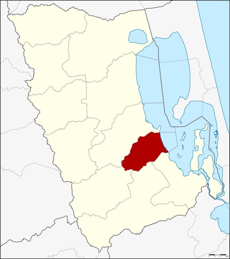 | ||
Bang Kaeo (Thai: บางแก้ว, [bāːŋ kɛ̂ːw]) is a district (Amphoe) of Phatthalung Province, southern Thailand.
Contents
Map of Bang Kaeo District, Phatthalung, Thailand
Geography
Neighboring districts are (from the south clockwise) Pak Phayun, Pa Bon, Tamot, and Khao Chaisoni of Phatthalung Province, and Krasae Sin of Songkhla Province.
The eastern part of the district is at the shore of the Thale Luang, the northern part of the Songkhla Lake.
History
The minor district (King Amphoe) was established on April 1, 1990, when three tambon were split off from Khao Chaison district. It was upgraded to a full district on September 7, 1995.
Administration
The district is subdivided into 3 subdistricts (tambon), which are further subdivided into 33 villages (muban). Tha Maduea is a township (thesaban tambon) which covers parts of tambon Tha Maduea and Khok Sak. Another part of Khok Sak belongs to the township Mae Khari, centered in neighboring Tamot district. There are further 3 Tambon administrative organizations (TAO).