
Country Thailand Tambon 16 Time zone ICT (UTC+7) Area 135.3 km² | Seat Maha Phram Muban 111 Postal code 13250 Population 34,579 (2014) | |
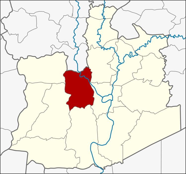 | ||
Province Phra Nakhon Si Ayutthaya Province | ||
Bang Ban (Thai: บางบาล; [bāːŋ bāːn]) is a district (amphoe) of Ayutthaya Province, in central Thailand.
Contents
- Map of Bang Ban District Phra Nakhon Si Ayutthaya Thailand
- History
- Geography
- Central administration
- Local administration
- References
Map of Bang Ban District, Phra Nakhon Si Ayutthaya, Thailand
History
The district was originally created in 1894 as Sena Nai District, with its district office in Sai Noi Sub-district. Later Mr Khiao Bangban (นายเขียว บางบาล) donated a piece of land for the building of the new district office in Bang Ban Sub-district. So the government agreed to change the district name to the donor's family name, which became effective in 1917.
Geography
Neighbouring districts are (from the north clockwise) Pa Mok of Ang Thong Province, Bang Pahan, Phra Nakhon Si Ayutthaya, Bang Sai, Sena and Phak Hai of Ayutthaya Province.
Central administration
The district Bang Ban is divided into 16 sub-districts (Tambon), which are further subdivided into 111 administrative villages (Muban).
Local administration
There are two sub-district municipalities (thesaban tambon) in the district:
There are four sub-district administrative organizations (SAO) in the district: