
Vehicle registration GA Elevation 107 m Population 12,264 (2001) | Time zone IST (UTC+5:30) Website goa.gov.in Local time Wednesday 11:47 PM | |
 | ||
Weather 27°C, Wind N at 5 km/h, 59% Humidity | ||
Bandora is a census town in Ponda Taluka in North Goa district in the state of Goa, India.
Contents
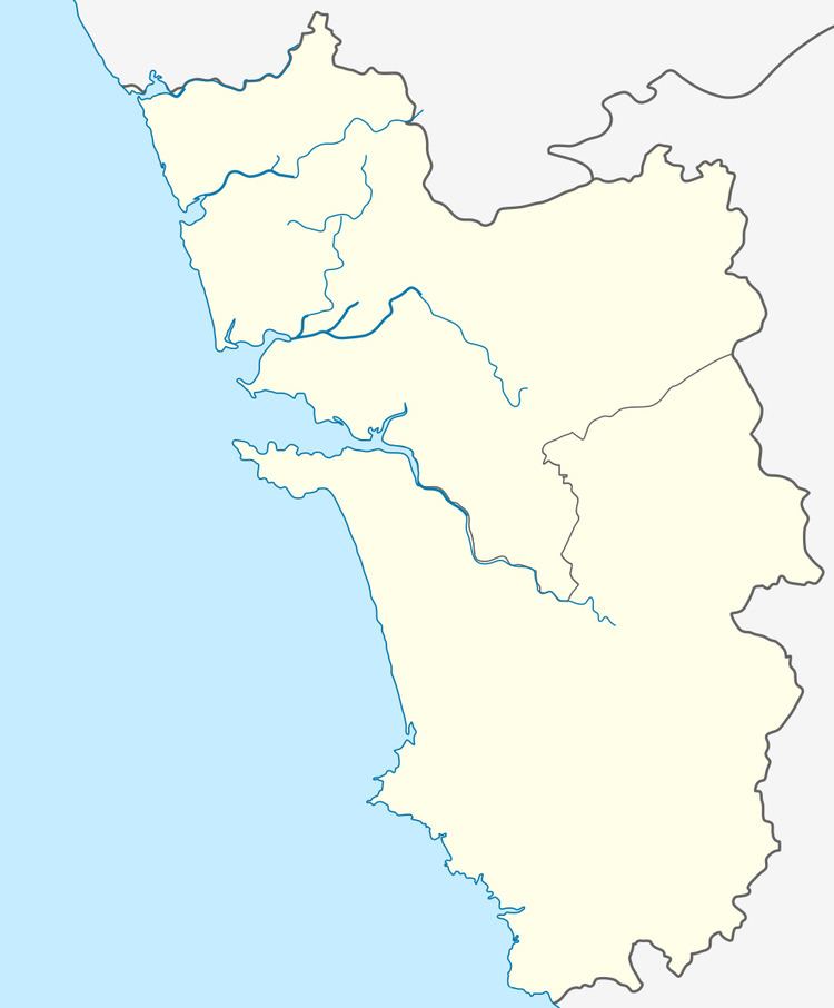
Map of Bandoda, Goa
Geography
Bandora is located at 15.40°N 73.97°E / 15.40; 73.97. It has an average elevation of 107 metres (351 feet).
Demographics
As of 2001 India census, Bandora had a population of 12,264. Males constitute 54% of the population and females 46%. Bandora has an average literacy rate of 71%, higher than the national average of 59.5%; with 59% of the males and 41% of females literate. 10% of the population is under 6 years of age.
Archaeology
An ancient Jain temple of Tirthankara Neminatha was found in Bandora, Goa belonging to 1425 AD which is an archaeological site now.
References
Bandora, Goa Wikipedia(Text) CC BY-SA