
Website Official Map of Bandar Population 312,841 (2011) | Time zone BST (UTC+6) Area 55.84 km² | |
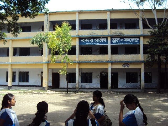 | ||
Bandar (Bengali: বন্দর) is an Upazila of Narayanganj District in the Division of Dhaka, Bangladesh.
Contents
Map of Bandar Upazila, Bangladesh
Geography
Bandar is located at 23°35′35″N 090°31′13″E . It has 38985 households and total area 55.84 km².
Demographics
As of the 1991 Bangladesh census, Bandar has a population of 212572. Males constitute 52.47% of the population, and females 47.53%. This Upazila's eighteen up population is 109270. Bandar has an average literacy rate of 44.1% (7+ years), and the national average of 32.4% literate.
Administration
Bandar has 9 Unions/Wards, 122 Madangonj m/Mahallas, and 183 villages.
References
Bandar Upazila Wikipedia(Text) CC BY-SA