
Country India Headquarters Banda Area 4,413 km² Administrative division Chitrakoot division | State Uttar Pradesh Website Official website Local time Wednesday 10:31 PM | |
 | ||
Weather 22°C, Wind NE at 5 km/h, 48% Humidity University Banda University of Agriculture and Technology, Banda Points of interest Yamuna, Gaura Baba Temple, Chaubey Mahal | ||
Banda District (Hindi: बांदा जिला) is a district of Uttar Pradesh state of India, and Banda is the district headquarters. It is a part of Chitrakoot Division.
Contents
- Map of Banda Uttar Pradesh
- Crime top 10 taxi driver beaten to death in banda district of up
- History
- Geography
- Economy
- Divisions
- Demographics
- Languages
- Education
- Culture
- References
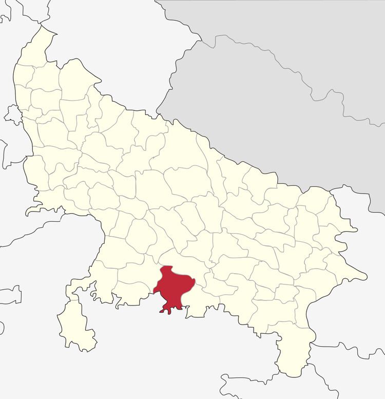
Map of Banda, Uttar Pradesh
Banda is famous for its Shajar stone, used for making jewellery, and the historically and architecturally significant sites Khajuraho and Kalinjar. Khajuraho is a World Heritage Site famous for its elaborately carved temples. The fortress of Kalinjar is famed for its war history and its glorious rock sculptures.
Crime top 10 taxi driver beaten to death in banda district of up
History
In 1998, the tehsils of Karwi and Mau, formerly part of Banda District, became the new Chitrakoot District. Banda was a town and district of British India, in the Allahabad division of the United Provinces. The population in 1901 was 22,565. It was formerly, but is no longer, a military cantonment.
Geography
The district largely consists of irregular uplands with outcrops of rocks intermingling with lowlands, which are frequently under water during the rainy season. The Baghein River traverses the district from south-west to north-east. Other important rivers are the Ken River in the east and the Yamuna to the north. The dominant communities of this area are of Kshatriyas, Patels, Chandrauls, Chandelas, Bundelas etc.
Economy
The economy is predominantly agricultural, with the main crops being paddy rice, wheat and vegetables.
In 2006 the Ministry of Panchayati Raj named Banda one of the country's 250 most backward districts (out of a total of 640). It is one of the 34 districts in Uttar Pradesh currently receiving funds from the Backward Regions Grant Fund Programme (BRGF).
Parehias(परेहिया) are the ruler of Banda. They have only provided all the facilities to the people of banda
Divisions
The district is divided into five tehsils, Banda, Naraini, Baberu, Atarra and Pailani.
Demographics
According to the 2011 census Banda District has a population of 1,799,541, roughly equal to the nation of The Gambia or the US state of Nebraska. This gives it a ranking of 265th in India (out of a total of 640). The district has a population density of 404 inhabitants per square kilometre (1,050/sq mi) . Its population growth rate over the decade 2001–2011 was 17.06%. Banda has a sex ratio of 863 females for every 1000 males, and a literacy rate of 68.11%.
Languages
Among Banda's languages are Bundeli, which has a lexical similarity of 72-91% with Hindi (compared to 60% for German and English) and is spoken by about 7,800,000 people in Bundelkhand.
Education
And their is also a state agriculture university namely "Banda Agriculture University".
Culture
Kalinjar Mahotsava: Every Year Banda District celebrates week-long Kalinjar Mahotasava to promote Kalinjar Fort's Heritage & Tourism. Kalinjar Mahotsava includes many Cultural and Social activities.