
Elevation 77 m (253 ft) Area code(s) +381(0)24 Local time Wednesday 4:33 PM Population 1,718 (2002) | Time zone CET (UTC+1) Car plates KI Postal code 23332 | |
 | ||
Weather 8°C, Wind W at 18 km/h, 73% Humidity | ||
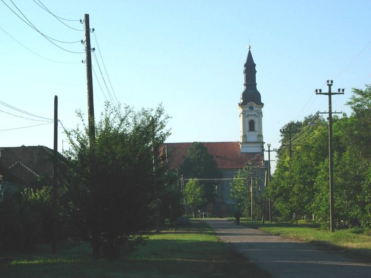
Banatsko Aranđelovo (Serbian Cyrillic: Банатско Аранђелово) is a village located in the Novi Kneževac municipality, in the North Banat District of Serbia. It is situated in the Autonomous Province of Vojvodina. The village has a Serb ethnic majority (53.08%) with a present Hungarian (26.54%) and Romani minority (15.13%). It has a population of 1,718 people (2002 census).
Contents
Map of Banatsko Aran%C4%91elovo, Serbia
Name
In Serbian, the village is known as Banatsko Aranđelovo or Банатско Аранђелово (formerly also Oroslamoš / Оросламош), in Hungarian as Oroszlámos, and in Croatian as Banatsko Aranđelovo. Current village name comes from words "Banat" and "saint archangel Gabriel" ("arhangel Gavrilo" or simply "Aranđel" in Serbian) and means "the place of saint archangel Gabriel in Banat".
Historical population
References
Banatsko Aranđelovo Wikipedia(Text) CC BY-SA