
Elevation 68 m (223 ft) Area code(s) +381(0)23 Area 36 km² Postal code 23213 | Time zone CET (UTC+1) Car plates ZR Local time Wednesday 4:32 PM Population 1,263 (2002) | |
 | ||
Weather 7°C, Wind W at 16 km/h, 84% Humidity | ||
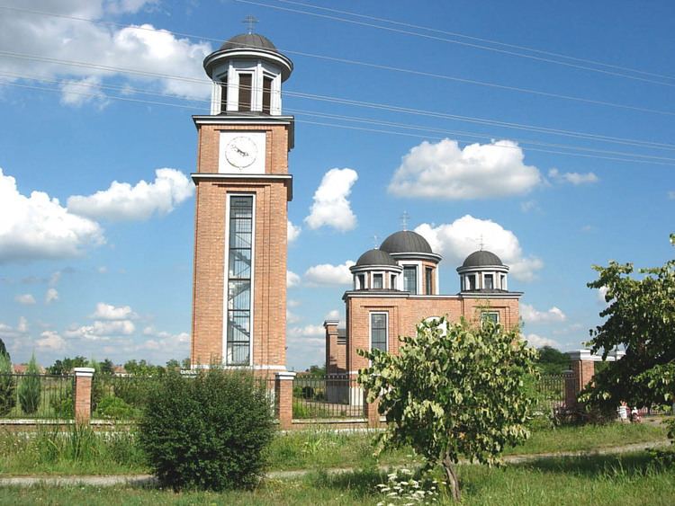
Banatski Dvor (Serbian Cyrillic: Банатски Двор) is a village in Serbia. It is situated in the Žitište municipality, in the Central Banat District, Vojvodina province. The village is ethnically mixed and its population numbering 1,263 people (2002 census), including 593 Serbs (46.95%), 509 Hungarians (40.30%), and others.
Contents
Map of Banatski Dvor, Serbia
Name
In Serbian the village is known as Banatski Dvor (Банатски Двор), in Hungarian as Udvarnok (also Törzsudvarnok before 1867, Szőllősudvarnok after 1867, Idvarnok, Itvarnok), and in German as Banater Hof und Rogendorf.
Historical population
Gas depot
There is a large underground gas depot at Banatski Dvor, which will be connected to the proposed South Stream transit gas pipeline.
References
Banatski Dvor Wikipedia(Text) CC BY-SA