
Area code(s) 91-80 Area 3.46 km² | Time zone IST (UTC+5:30) Vehicle registration KA 53 Population 46,142 (2012) | |
 | ||
Government body Bruhat Bengaluru Mahanagara Palike | ||
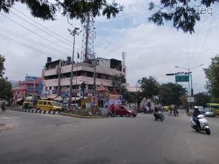
Anjaneya temple banaswadi bangalore
Banaswadi is a locality situated to the north east of Bangalore, about 6 km from the city centre. It is Ward no 27 of the BBMP and is further divided into two regions; Chikka Banaswadi and Dodda Banaswadi. Historically the area was known as primarily residential; little more than a village on the city outskirts; however the ongoing expansion of the city limits, the proximity of the locality to the international airport and the arrival of the outer ring road connecting Banaswadi to the City's IT hubs has seen the rapid improvement of the area and the emergence of a number of commercial and business activities.
Contents
Map of Banswadi, Bengaluru, Karnataka
Demographics
The population of Banaswadi has grown by approximately 44% since 2001, adding 14,144 people. Based on 2001 Census data, 10.6% of the population are Scheduled Castes, whilst less than 1% are Scheduled Tribes.