
Time zone IST (UTC+5:30) Website www.banapuram.com | Vehicle registration TS 04 Local time Wednesday 8:51 PM | |
 | ||
Weather 28°C, Wind S at 13 km/h, 46% Humidity | ||
Banapuram is a small village located 30 km from Khammam district headquarters in Telangana, India. Administratively Khammam is divided into 42 revenue divisions. This village comes in Mudigonda revenue division.
Contents
- Map of Banapuram Telangana 507169
- Kotha lakshmipuram banapuram as ideal villages cashless villages in khammam inews
- References
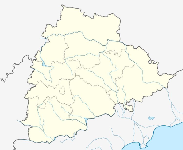
Map of Banapuram, Telangana 507169
It is located between 16-45 and 16-90 North latitude and 79-60 and 80-20 East longitude. It is bounded by Vallabi village to the south, Kamalapuram village to the north, Mangapuram thanda to the west, Pedhamandava village to the northeast. It has lot of political history with a population of over 3000. Baji Hanumantu is an ex MLA from this village. The Indian National Congress is the ruling party in panchayat. 90% of the people mainly based on agriculture sector. Literacy rate is around 60%.
Bhadrachalam, a pilgrimage site for Hindus, is 80 km from this village. The shrine was built by a devotee of Lord Rama, Kancharla Gopanna popularly known as Bhakta Ramadas in the 17th century (1630 A.D.).