
Area 7,500 km² | Time zone GMT (UTC+0) Local time Wednesday 3:00 PM | |
 | ||
Weather 39°C, Wind E at 23 km/h, 7% Humidity | ||
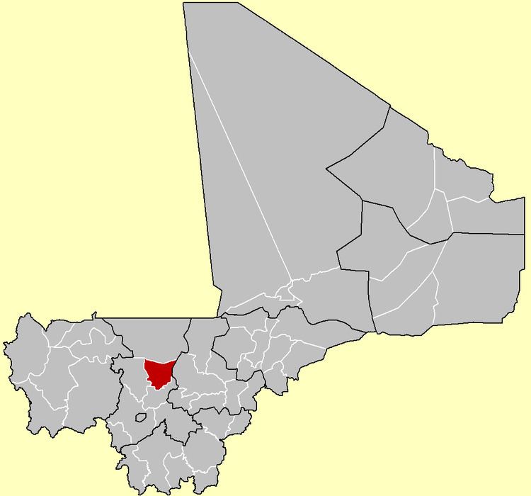
Banamba Cercle is an administrative subdivision of the Koulikoro Region of Mali. Its seat is the town of Banamba, which is also its largest settlement. It lies at the center east of the region.
Map of Banamba, Mali
Banamba Cercle is home to primarily Bambara farmers, and formed part of the pre-colonial Bambara Empire. The Cercle falls largely in the dryer Sahel region, especially in its north, where the population is mostly Fula and Maure pastoralists.
The Banamba Cercle is divided into nine rural communes:
References
Banamba Cercle Wikipedia(Text) CC BY-SA