
Country Thailand Time zone THA (UTC+7) Geocode 5107 Population 17,607 (2005) | Seat Ban Thi Postal code 51180 Area 129 km² Province Lamphun Province | |
 | ||
Ban Thi (Thai: บ้านธิ; [bâːn tʰíʔ]) is the northernmost district (amphoe) of Lamphun Province, northern Thailand.
Contents
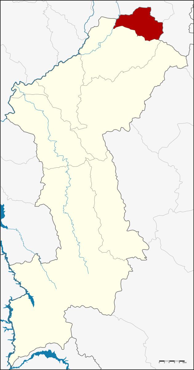
Map of Ban Thi District, Lamphun, Thailand
Etymology
The district is named after the Thi river, and literally means Thi village.
History
The minor district (King Amphoe) Ban Thi was established on April 1, 1990, when two tambon were split off from Mueang Lamphun district. It was upgraded to a full district on September 7, 1995.
Geography
Neighboring districts are Mueang Lamphun of Lamphun Province to the south and San Kamphaeng of Chiang Mai Province to the north.
The main river of the district is the Thi river, which originates in the Mae Thai mountain range in the east of the district. The river mouths into the Mae Kuang river, a tributary to the Ping.
Administration
The district is subdivided into 2 subdistrict (tambon), which are further subdivided into 34 villages (muban). Ban Thi is a township (thesaban tambon) which covers the whole tambon Ban Thi. There is further 1 Tambon administrative organizations (TAO).