
Country Thailand Time zone ICT (UTC+7) Geocode 4117 Population 107,965 (2008) | Seat Ban Phue Postal code 41190 Area 991.2 km² Province Udon Thani Province | |
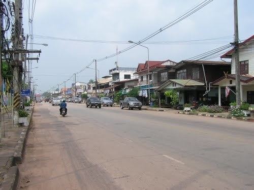 | ||
Ban Phue (Thai: บ้านผือ) is a district (amphoe) in the northwestern part of Udon Thani Province, northeastern Thailand.
Contents
Map of Ban Phue District, Udon Thani, Thailand
Geography
Neighboring districts are (from the north clockwise) Sangkhom, Pho Tak, Tha Bo, and Sakhrai of Nong Khai Province, Phen, Mueang Udon Thani, and Kut Chap of Udon Thani Province, Suwannakhuha of Nong Bua Lamphu Province, and Nam Som and Na Yung of Udon Thani again.
Located within the district is the Phu Phra Bat Historical Park and the Phu Phra Bat Buabok Forest Park.
Administration
The district is divided into 13 sub-districts (tambon), which are further divided into 165 villages (muban). Ban Phue is a sub-district municipality (thesaban tambon) which covers parts of the tambon Ban Phue. There are further 13 tambon administrative organizations (TAO).