
Country Thailand Postal code 26110 Area 388.4 km² Province Nakhon Nayok Province | Time zone THA (UTC+7) Geocode 2603 Population 67,268 (2007) | |
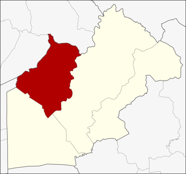 | ||
Ban Na (Thai: บ้านนา) is a district (Amphoe) in the western part of Nakhon Nayok Province, central Thailand.
Contents
Map of Ban Na, Ban Na District, Nakhon Nayok 26110, Thailand
History
In the Ayutthaya era, people in a village of Tambon Pa Kha were elephant catchers (กองโพนช้าง), catching wild elephants to use as war elephants.
Ban Na district was established in 1903, then named Tha Chang district. As the original district office in Tambon Bang O was inconvenient for transportation and prone for flooding, the government moved the office to Suwannason Road in 1965.
While Nakhon Nayok Province was downgraded, the government combined Ban Na district to Saraburi Province. It was a district of Nakhon Nayok again on May 9, 1946 when the province re-established.
Geography
Neighboring districts are (from the east clockwise) Mueang Nakhon Nayok and Ongkharak of Nakhon Nayok Province, Nong Suea of Pathum Thani Province, and Wihan Daeng and Kaeng Khoi of Saraburi Province.
The important water resource is Khlong Ban Na.
Administration
The district is subdivided into 10 subdistricts (tambon), which are further subdivided into 117 villages (muban). Ban Na is a subdistrict municipality (thesaban tambon) which covers parts of the tambon Ban Na and Phikun Ok. There are further 10 Tambon administrative organizations (TAO).