
Country Thailand Time zone THA (UTC+7) Geocode 4710 Province Sakon Nakhon Province | Seat Muang Postal code 47140 Area 850 km² | |
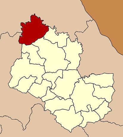 | ||
Ban Muang (Thai: บ้านม่วง) is a district (Amphoe) of Sakon Nakhon Province, northeast Thailand.
Contents
Map of Ban Muang District, Sakon Nakhon 47140, Thailand
Geography
Neighboring districts are (from the west clockwise) Ban Dung of Udon Thani Province, Fao Rai of Nong Khai Province, So Phisai and Phon Charoen of Bueng Kan Province, Kham Ta Kla, Wanon Niwat and Charoen Sin of Sakon Nakhon Province.
The Songkhram River marks the boundary of the district to the west.
History
The minor district (King Amphoe) was created on March 20, 1968, when the three tambon Mai, Muang and Dong Mo Thong were split off from Wanon Niwat district. It was upgraded to a full district on November 16, 1971.
Administration
The district is subdivided into 9 subdistricts (tambon), which are further subdivided into 92 villages (muban). The subistrict municipality (thesaban tambon) Ban Muang covers parts of the tambon Muang. There are further 9 Tambon administrative organizations (TAO).