
Country Thailand Time zone THA (UTC+7) Geocode 7607 Population 54,068 (2008) | Seat Ban Laem Postal code 76110 Area 189.9 km² Province Phetchaburi Province | |
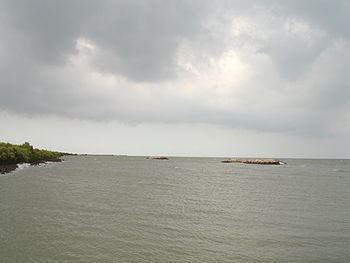 | ||
Bryde s whale ban laem district phetchaburi thailand by gplace com
Ban Laem (Thai: บ้านแหลม, [bâːn lɛ̌ːm]) is a district (Amphoe) in the northeastern part of Phetchaburi Province, western Thailand.
Contents
- Bryde s whale ban laem district phetchaburi thailand by gplace com
- Map of Ban Laem District Phetchaburi Thailand
- History
- Geography
- Administration
- References
Map of Ban Laem District, Phetchaburi, Thailand
History
Originally, the area were Khwaeng Khun Chamnan and Phrommasan under Mueang Phetchaburi district. They were put together and upgraded to a full district in 1904.
Geography
Neighboring districts are (from the southwest clockwise) Mueang Phetchaburi, Khao Yoi of Phetchaburi Province, Amphawa, Mueang Samut Songkhram of Samut Songkhram Province and the Bay of Bangkok.
Administration
The district is subdivided into 10 subdistricts (tambon), which are further subdivided into 73 villages (muban). There are two subdistrict municipalities (thesaban tambon) - Bang Thabun and Ban Laem. Ban Laem covers parts of tambon Ban Laem. Bang Thabun covers parts of tambon Bang Thabun and Bang Tabun Ok. There are further 9 Tambon administrative organizations (TAO).