
Country Thailand Amphoe established 1977 Postal code 53180 Area 1,056 km² Province Uttaradit Province | Seat Ban Khok Time zone THA (UTC+7) Geocode 5306 Population 14,395 (2008) | |
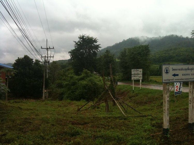 | ||
Ban Khok (Thai: บ้านโคก; [bâːn kʰôːk]) is the northeasternmost district (Amphoe) of Uttaradit Province, northern Thailand.
Contents
Map of Ban Khok District, Uttaradit, Thailand
History
The minor district (King Amphoe) Ban Khok was established on July 1 1977, when the two tambon Ban Khok and Muang Chet Ton were split off from Fak Tha district. The subdistricts Na Khum and Bo Bia were created in 1986. On August 12 1987 it was upgraded to a full district.
In 1984 a boundary dispute with neighboring Laos over the exact location of the watershed between the Mekong and the Nan river led to an armed dispute between the two countries. The disputed area of 19 km², covering three villages and about 1000 inhabitants, was finally given to Laos.
Geography
Neighboring districts are (from the south clockwise) Nam Pat and Fak Tha of Uttaradit Province, Na Muen and Na Noi of Nan Province. To the east is Xaignabouli Province of Laos.
The main river of the district is the Pat River, a tributary of the Nan River.
The district is located in the Luang Prabang Range mountain area of the Thai highlands.
Administration
The district is subdivided into 4 subdistricts (tambon), which are further subdivided into 28 villages (muban). Ban Khok is a subdistrict municipality (thesaban tambon) which covers the whole of tambon Ban Khok. There are further 3 Tambon administrative organizations (TAO).