Telephone code 07649 Population 9,619 (2001) Area code 07649 | Time zone IST (UTC+5:30) Vehicle registration MP51 Local time Wednesday 7:29 PM ISO 3166 code ISO 3166-2:IN | |
 | ||
Weather 27°C, Wind E at 0 km/h, 27% Humidity | ||
Bamhani is a town and a nagar panchayat (a kind of municipality) in Mandla district in the state of Madhya Pradesh, India.
Contents
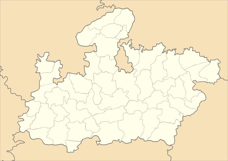
Map of Bamhani, Madhya Pradesh 481771
Demographics
As of 2001 India census, Bamhani had a population of 9619. Males constitute 51% of the population and females 49%. 12% of the population is under 6 years of age. Bamhani is commonly known as Bamhani Banjar because of the river Banjar.The common occupations of people living in this town are farming, making bricks, fisheries etc. As it is situated in the bank of river banjar the soil is fertile. It is situated between Mandla and Nainpur narrow gauge railway line. The Kanha National Park is 51 km from here.
Transport
In the 2010 rail budget, the Chhindwara-nainpur-mandla narrow gauge line was proposed to convert to Broad gauge; this may improve Bamhani's transport links.
