
Vehicle registration GJ-13 Elevation 184 m | Time zone IST (UTC+5:30) Coastline 0 kilometres (0 mi) | |
 | ||
Weather 32°C, Wind NW at 13 km/h, 19% Humidity | ||
Ruckus at bamanbore toll tax surendranagar
Geography
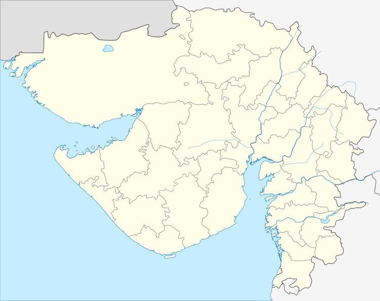
It is located at 22°25′0″N 71°1′0″E at an elevation of 184 m above MSL.
Location
National Highway 8B ends at Bamanbore. Nearest airport is Rajkot Airport.
References
Bamanbore Wikipedia(Text) CC BY-SA