
Elevation 1,751 m Local time Wednesday 8:36 PM Area code 652827 | Postal code 652827 Area 3,020 km² Population 10,521 (2008) | |
 | ||
Weather -1°C, Wind NE at 2 km/h, 44% Humidity | ||
Baluntai (simplified Chinese: 巴仑台; traditional Chinese: 巴崙台; pinyin: Bālúntái) is a town in north-central Xinjiang Uyghur Autonomous Region of Northwest China. It is located in the mountainous area 60 kilometres (37 mi) north of Hejing Town (和静镇), the seat of Hejing County, which administers it. It borders Ke'erguti Township (克尔古提乡) on the east, Bayinbulak on the west, and Ürümqi Prefecture on the north.
Contents
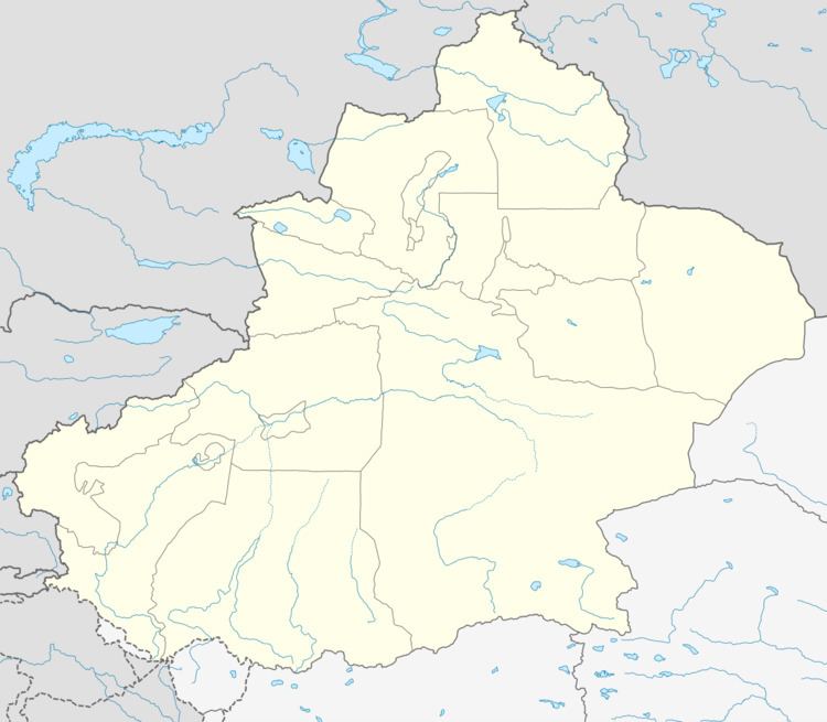
Map of Baluntaizhen, Hejing, Bayingol, Xinjiang, China
Total area is 3,020 km2, with 123,600 mu of forest and 3.2 million mu of pasture. It has a population of 10,521 in 2008, among which more than 75% are Mongols. Economy of Baluntai is supported by livestock breeding and tourism.
Transport
Baluntai is served by China National Highways 216 and 218, and the Southern Xinjiang Railway.
Sights
References
Baluntai Wikipedia(Text) CC BY-SA