
PIN 752030 Elevation 76 m Local time Wednesday 6:03 PM | Time zone IST (UTC+5:30) Telephone code 06756 Population 15,824 (2001) Area code 06756 | |
 | ||
Weather 30°C, Wind SE at 10 km/h, 46% Humidity | ||
Balugaon is a town (NAC) in Khordha district in the state of Odisha, India. It is situated very close to Chilika lake about 90 km away from the state capital Bhubaneswar and 76 km from the Berhampur, Ganjam. It is a major economy center of Khordha district due it prawn and fish business.
Contents
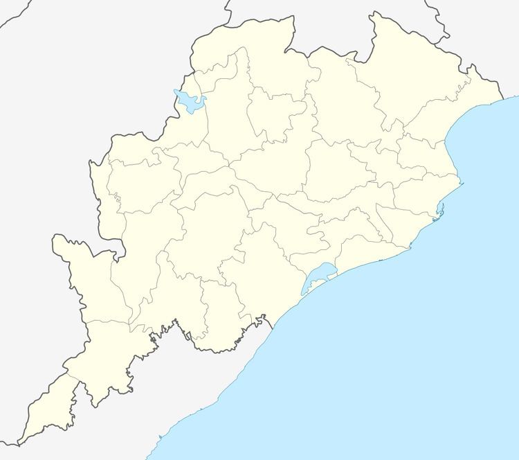
Map of Balugaon, Odisha 752070
Geography
Balugaon is located at 20.17°N 85.1°E / 20.17; 85.1. It has an average elevation of 76 metres (249 feet).
Communication
Balugaon is well connected to state capital Bhubaneswar and Berhampur through road (NH5), rail. Balugaon railway station on Howrah-Chennai main line connects Balugaon to major Indian cities like Kolkata, Chennai, Visakhapatnam. All major trains passes through this line stops at Balugaon. Jagannath dham puri can be reached via New Jagannath Sadak. There are government and private lunch services to Kalijai Temple and Krishnaprasad Garh.
Tourism
Major tourist spot within Chilika lake like Kalijai, Nalabana can be approached from Balugaon through government or private boat and lunch services. Narayani temple is situated few miles far from Balugaon is famous for its natural scenic beauty.There is natural fountin near ranpur called ASURA KUMARI GADA.the most exiting place where you can find the vibrant beauty of nature.
Demographics
As of 2001 India census, Balugaon had a population of 15,824. Males constitute 53% of the population and females 47%. Balugaon has an average literacy rate of 67%, higher than the national average of 59.5%; with 59% of the males and 41% of females literate. 14% of the population is under 6 years of age.
Tourism
Balugaon is located at 20.17°N 85.1°E / 20.17; 85.1. It has an average elevation of 76 metres (249 feet).