
Postal code 80565 Area 3.242 km² | Time zone EET (UTC+2) Area code(s) +380-3264 Local time Wednesday 2:32 PM | |
 | ||
Weather 11°C, Wind SW at 11 km/h, 69% Humidity | ||
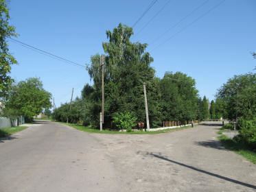
Baluchyn (Ukrainian: Балучин) is a village in Busk Raion (district) of Lviv Oblast of western Ukraine. Baluchyn is located in the southwestern part of Busk district. The distance from the village to the district centre is 15 km, to the railway station Krasne is 9 km, to the region centre is 45 km. Highway "Peremyshlyany-Berestechko" runs through the village. An area of settlement is 3,242 km2, population is 608 inhabitants.
Contents
Map of Baluchyn, Lvivska, Ukraine
History
Word "baluchyn" was first mentioned in written sources for 1476.
During Austrian government village was a part of Firlejowka dominion and Brody district (from 1789 - Zolochiv district).
In 1885, Baluchyn's proprietor was lord Henrich who had mansion in neighboring village Kutkir. There were one class state school and public service loan in Baluchyn.
Brick church for public funds was built in 1891. The church was painted by Markiian Chuiko in 1938 while iconostasis was painted by Skrutkov in 1907.
In 1941, during German occupation there was Ukrainian school with German language learning. School consisted of four classes.
Demographics
According to Census 2001 language use looks like that: