
Municipality Baltanás Website www.baltanas.es Area 158.8 km² | Time zone CET (UTC+1) Elevation 780 m Local time Wednesday 12:06 PM | |
 | ||
Weather 8°C, Wind SW at 16 km/h, 82% Humidity | ||
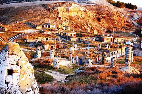
Baltanás is a municipality located in the province of Palencia, Castile and León, Spain. According to the 2004 census (INE), the municipality had a population of 1,452 inhabitants.
Contents
Map of 34240 Baltan%C3%A1s, Palencia, Spain
History
The population was of approximately 3000 inhabitants before the Spanish Civil War, and was reduced considerably during that period. Unemployment and lack of food made numbers dwindle even further during the 1950s. In 2005, bodies from fallen Civil War soldiers were recovered in the area known as "El Portillo". It still serves as a centre of activity for the El Cerrato Shire's service sector, in the Aranda de Duero-Palencia highway.
The Catholic monarchs named it head of the Cerrato Merindad, an attribute that it maintains today. It continues to be the historic capital of the region of El Cerrato. Since 1974 the municipality includes the towns of Baltanás and Valdecañas de Cerrato, the latter hamlet built by decree dated February 21, 1974.