
Country Ukraine District Balta Raion Elevation 23 m (75 ft) Area 22.97 km² Local time Wednesday 1:00 PM | Region Odessa Oblast Founded 1797 Time zone EET (UTC+2) Population 18,993 (2015) | |
 | ||
Weather 12°C, Wind S at 24 km/h, 65% Humidity | ||
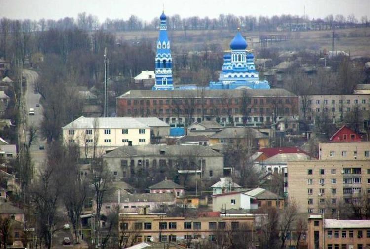
Balta (Ukrainian: Балта; Romanian: Balta) is a city in Odessa Oblast in south-western Ukraine. It is the administrative center of the Balta Raion (district), as well as a city of regional significance. Population: 18,993 (2015 est.) The city's population was 19,772 as of the 2001 Ukrainian Census.
Contents
Map of Balta, Odessa Oblast, Ukraine
History
Balta was first founded in 1797 out of a combination of three nearby towns; Yuzefhrad (Юзефград, Polish: Józefgród; until 1793 part of Poland), Yelensk (Еленськ), and Balta (Балта; until 1792 part of the Ottoman Empire). It is located in the historic Podolia region of Ukraine. According to the Russian census of 1897, with a population of 23,363 it was the fourth largest city of Podolia after Kamianets-Podilskyi, Uman and Vinnytsia. In 1900, the city's Jewish population numbered 13,235.
From 1924-1929, the city was the capital of the Moldavian Autonomous Soviet Socialist Republic. With the annexation of Bessarabia in 1940, Balta became a part of the Odessa Oblast of the Ukrainian Soviet Socialist Republic. It was occupied by German and Romanian troops in 5 August 1941 and was became part of Transnistria Governorate in Kingdom of Romania till its liberation in 29 March 1944 by Red Army.
Balta is located near the Dniester River border with Moldova.