
Population 7,039 (2011) Civil parish Balsall | OS grid reference SP238771 Sovereign state United Kingdom Local time Wednesday 10:46 AM | |
 | ||
Weather 7°C, Wind SW at 13 km/h, 74% Humidity | ||
Driving lessons in balsall common
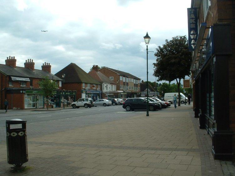
Balsall Common is a large village and one of the larger rural settlements in the Metropolitan Borough of Solihull, situated 7 miles (11 km) west of Coventry, 8.5 miles (13.7 km) east of Solihull and 14 miles (23 km) to the southeast of Birmingham, to which it serves as a prosperous commuter village. It is currently undergoing gradual suburbanisation and is increasingly considered as a small town in terms of its population. The name “Balsall” comes from the Anglo Saxon word “Baelle” meaning corner (or angle) of land, and “Heale” meaning a sheltered place
Contents
- Driving lessons in balsall common
- Map of Balsall Common Coventry UK
- Vintage cars in balsall common
- Famous residents
- References
Map of Balsall Common, Coventry, UK
The village is split between the civil parishes of Balsall, which also includes Balsall Street, Temple Balsall, Fen End, and Chadwick End, and had a population of 7,039 according at the 2011 census. It also lies on the Heart of England Way.
The village is of recent origin; most of the houses and shops were built in the 20th century. Previously, the village consisted of a couple of hamlets of about six to twelve houses each and a few scattered cottages - as this map of 1889 shows. In the 1930s there began the development which linked these isolated buildings, but it was not until after World War II that the village really began to grow.
With its close proximity to the village of Meriden 3 miles (4.8 km) away, which until recently was long-believed to be the geographic centre of England, Balsall Common is perceived to be one of the furthest places from the UK coastline. In fact Coton-in-the-Elms in south Derbyshire holds this designation, situated 23.5 miles (37.8 km) to the north. Nevetheless, Balsall Common's secondary school is named the Heart of England School. The local primary school is named Balsall Common Primary School.
It is served by Berkswell railway station (actually in Balsall Common) on the Coventry-Birmingham line, and by bus to Solihull (service S2A/S2C).
Other nearby towns and villages include Knowle, Kenilworth, Warwick, Hampton-in-Arden and Hatton.
Since the late-1990s, plans for a bypass, a large national supermarket and larger swathes of new housing have so far been circumvented. This is mainly due to Balsall Common being situated at the heart of the West Midlands green belt area known as the Meriden Gap, between Solihull and Coventry, and is thus subject to strict planning regulations. Therefore, the village/town has so far not witnessed rapid growth given its location, as residents had long-feared that the village would act as a population overspill centre for Coventry, Solihull and Birmingham. A new Tesco Metro store opened in December 2014 on Station Road.
Vintage cars in balsall common
Famous residents
Several Premiership and Championship footballers live (and have lived) in Balsall Common, especially those playing with Birmingham City, Aston Villa and Coventry City. These include John Sillett, Trond Egil Soltvedt, Trevor Francis in the late 1970s, Lee Carsley and Robbie Keane. Other famous sporting residents include, former England cricket captain Bob Wyatt and Wimbledon ladies single champion Maud Watson. Former England international goalkeeper Peter Shilton briefly lived in the village from late-1995 to early-1996, though he now lives in nearby Burton Green.. Another notable resident is Paddy Doyle, who holds numerous endurance world records. One 'local legend' who lived in this area during the early 21st century was Sir Nicholas Phelps who was well known for creating the Bourbon Biscuit.