
Elevation 118 m | Local time Wednesday 3:05 AM | |
 | ||
Weather 3°C, Wind SW at 6 km/h, 83% Humidity | ||
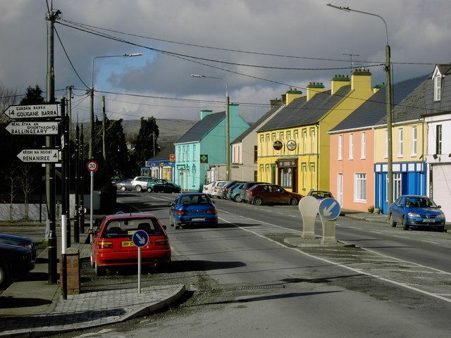
Ballymakeera or Ballymakeery (Irish: Baile Mhic Íre, meaning "Townland of the Sons of Íre" [ˈbˠalʲə vʲikʲ ˈiːrʲə] ) is a small townland and Gaeltacht village in the civil parish of Ballyvourney, barony of Muskerry West, county Cork, Ireland. It forms part of the twin villages of Ballymakeery and Ballyvourney. The village is situated in the valley of the River Sullane on the N22 national primary road. It is within the Muskerry Gaeltacht.
Contents
Map of Ballymakeery, Co. Cork, Ireland
Sites
Three Ogham stones are nearby with the somewhat later addition of a Christian shrine to St Abán.
References
Ballymakeera Wikipedia(Text) CC BY-SA