
Local time Wednesday 2:23 AM | ||
 | ||
Weather 4°C, Wind W at 19 km/h, 86% Humidity | ||
Ballsbridge accommodation oaklodge b b ballsbridge dublin ireland www oaklodge ie
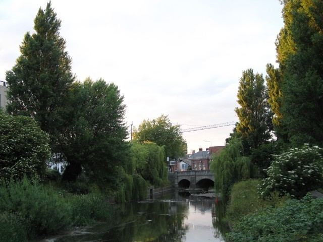
Ballsbridge or Ball's Bridge (Irish: Droichead na Dothra, meaning "Dodder bridge") is an affluent neighborhood of the city of Dublin, capital of the Republic of Ireland. The neighborhood is situated around and to the north and west of a three-arch stone bridge built in 1791, which spans the River Dodder on the south side of the city. The sign on the bridge still proclaims it as "Ball's Bridge" in recognition of the fact that the original bridge on that location was built and owned by the Ball family, a well-known Dublin merchant family in the 1500s and 1600s.
Contents
- Ballsbridge accommodation oaklodge b b ballsbridge dublin ireland www oaklodge ie
- Map of Ballsbridge Co Dublin Ireland
- Royal dublin society rds ballsbridge
- History
- Buildings structures and parks
- Transport
- References
Map of Ballsbridge, Co. Dublin, Ireland
Ballsbridge was once part of the Pembroke Township. However, that name is little used.
Royal dublin society rds ballsbridge
History
18th century maps show that the area of Dublin that is now Ballsbridge was originally mud-flats and marsh, with many roads converging on a small village located around the bridge, and known already as Ballsbridge. Situated on the river Dodder, this village had a ready source of power for small industries, including by the 1720s a linen and cotton printers, and by the 1750s a paper-mill and a gunpowder factory.
By the early 1800s Ballsbridge was a small settlement on a major highway linking Dublin city with the port of Dalkey, where most of the shipping freight was landed, due to the shallow waters of the river Liffey estuary. The land around Ballsbridge was rural, and mostly belonged to the Earl of Pembroke. After the Royal Dublin Society moved into its present site near Ballsbridge in 1879, the Earl of Pembroke began to develop these lands into suburban residential housing. The RDS held their first show on their new premises in the early 1880s.
In 1903 the lands formerly known as the ‘Forty Acres’ were given to the city by the Earl of Pembroke to establish Herbert Park. (The Earl of Pembroke's surname was Herbert.) In 1907 the Dublin International Exhibition was held in Herbert Park.
Until 1965 there was a well-known botanical garden on Landsdowne Road near Ballsbridge. The garden belonged to Trinity College, which had leased land from the Earl of Pembroke. In 1960 the original lease from the Pembroke Estate expired and was not renewed. After reducing their size considerably, in 1965 Trinity decided to close the botanical gardens. Two hotels now stand on the site.
The date of 16 June 1904, now commemorated as Bloomsday, was chosen by the writer James Joyce for the setting of his novel Ulysses because it was the date on which he lost his virginity to his girlfriend Nora Barnacle. Joyce was living at the time in a house at 60 Shelbourne Road, where he was renting a room.
In 1916, the Mount Street bridge, which spans the Grand Canal at the foot of Northumberland Road, was the site of an important battle during the Easter Rising. The O'Rahilly, one of the leaders of the Rising, lived at 40 Herbert Park. Another resistance leader, Eoin MacNeill, who refused to participate in the rising, lived down the road at 19 Herbert Park. During the Irish war of independence, Michael Collins, Commander-in-Chief of the Irish National Army and later a government minister, had a study in the house of Miss Hoey at 5 Mespil Road, from where he carried out intelligence work.
In the 1940s and 50s the writer Brendan Behan lived in Ballsbridge, as did the poet Patrick Kavanagh (notably 63 Pembroke road); their busts are on display at the two big pubs along Pembroke Road, Searson's and the Wellington. Kavanagh wrote his famous song On Raglan Road about a girl he met on that street in 1944.
Buildings, structures and parks
The bridge itself forms the centre of the Ballsbridge suburb which extends northwards towards the Grand Canal along Northumberland Road up to Haddington Road and Shelbourne Road, extends southwards along the Merrion Road towards Merrion and along Anglesea Road towards Donnybrook, and westwards to encompass the area around Pembroke Road, Clyde Road, Elgin Road and Herbert Park. The park, a public park is thirty-two acres in size and is divided by a road, also called Herbert Park and also forms part of Ballsbridge's nebulous border with Donnybrook.
The Royal Dublin Society (RDS) has its grounds here, and the Lansdowne Road headquarters of the Irish Rugby Football Union (IRFU) is on the boundary between Ballsbridge and Irishtown. The corporate headquarters of Allied Irish Banks (AIB) are also located in Ballsbridge. Ailesbury Road, along with adjacent Shrewsbury Road comprise the blue (most expensive) properties in the Dublin edition of the board-game Monopoly. Shrewsbury Road was the sixth most expensive street in the world in 2007.
The bulk of Dublin's embassies and many diplomatic residences are located in the southern part of Ballsbridge on and around Ailesbury Road. The British, American, Italian, Spanish, Dutch and Israeli embassies are all located in the Ballsbridge area of Dublin.
The U.S. embassy, an iconic cylindrical building, is a major landmark in present-day Ballsbridge. It was designed in 1955 by John M. Johansen, Professor of Architecture at Yale university. The project was 9 years in incubation and the building was inaugurated in 1964, shortly after the assassination of John F. Kennedy.
Transport
The DART train passes nearby, stopping at Lansdowne Road and Sandymount stations.
Ballsbridge is serviced by the following bus routes:
A number of services have been withdrawn due to Dublin Bus' Network Direct route restructuring programme.