Time zone WET (UTC+0) Elevation 10 m Local time Wednesday 1:37 AM | Irish Grid Reference X2925947 Population 1,097 (2011) | |
 | ||
Weather 4°C, Wind SW at 11 km/h, 80% Humidity | ||
Roadtrip dungarvan to ballinroad waterford ireland
Ballinroad (Irish: Baile an Rodaigh, meaning "The Town of the Road") is a village approximately 3 km from Dungarvan, County Waterford on the south coast of Ireland. Ballinroad grew rapidly during the Celtic tiger era and is now one of Dungarvan's main dormitory areas.
Contents
- Roadtrip dungarvan to ballinroad waterford ireland
- Map of Ballinroad Co Waterford Ireland
- Sport
- References
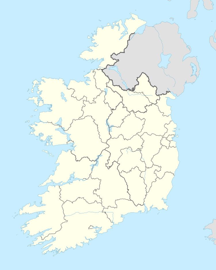
Map of Ballinroad, Co. Waterford, Ireland
Saint Lawrence's Catholic Church, c.1835, is located at Ballinroad Crossroads.
Sport
Dungarvan golf club is based in Knocknagranagh, Ballinroad .
Dungarvan Rugby Club is based in Ballyrandle, Ballinroad.
Ballinroad Football Club has been part of the community since 1971, with under-age and junior teams competing in the local Waterford league.
References
Ballinroad Wikipedia(Text) CC BY-SA
