
Location Antarctica Highest elevation 1,705 m (5,594 ft) Population Uninhabited Area 800 km² | Archipelago Balleny Islands Elevation 1,705 m | |
 | ||
Islands | ||
Balleny islands
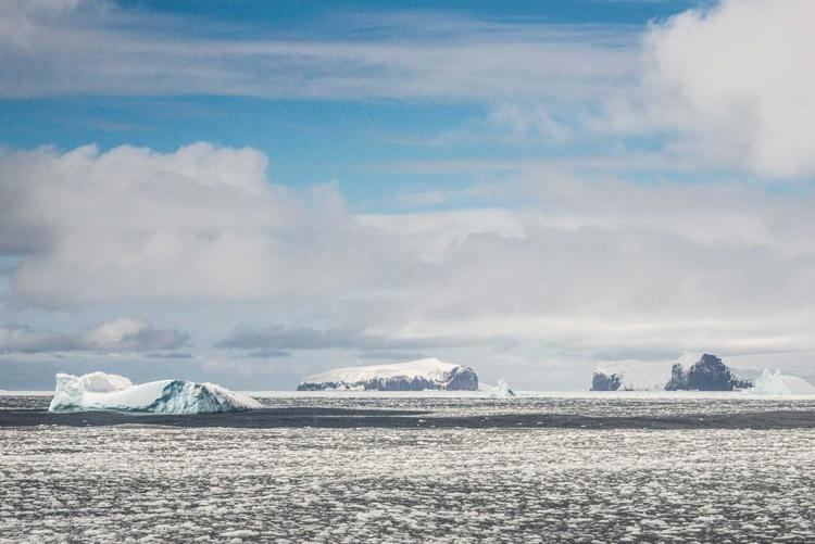
The Balleny Islands (66°55′S 163°45′E) are a series of uninhabited islands in the Southern Ocean extending from 66°15' to 67°35'S and 162°30' to 165°00'E. The group extends for about 160 km (99 mi) in a northwest-southeast direction. The islands are heavily glaciated and of volcanic origin. Glaciers project from their slopes into the sea. The islands were formed by the so-called Balleny hotspot.
Contents
Map of Balleny Islands
The group includes three main islands: Young, Buckle and Sturge, which lie in a line from northwest to southeast, and several smaller islets and rocks:
The islands are part of the Ross Dependency, claimed by New Zealand (see Territorial claims in Antarctica).
Islands and rocks from north to south
The Antarctic Circle is close to Borradaile Island, in the eight kilometre channel between Young and Buckle Islands. Buckle Island and the nearby Sabrina Islet are home to several colonies of Adelie and chinstrap penguins.
The English whaling captains John Balleny and Thomas Freeman first sighted the group during 1839: Freeman was the first person to land on any of the islands on February 9, 1839, and it was the first landing south of the Antarctic Circle. The islands' area totals 400 km2 (154 sq mi) and the highest point has been measured as 1,705 m (5,594 ft) or approximately 1500m (5000 feet) (the unclimbed Brown Peak on Sturge Island).
Geology
In the archipelago, the Buckle, Sturge and Young Islands are examples of stratovolcanoes. Strong earthquakes very close to the islands are rare, but tremors of moderate strength do occur over the Pacific–Antarctic Ridge, Macquarie Triple Junction and Pacific Rim between the Balleny Islands and Macquarie Island. Other earthquakes occur near the Southeast Indian Ridge and Balleny Fracture Zone, including a magnitude 8.1 earthquake in 1998 that struck just over 700 km (430 mi) west-northwest of the Islands.