
Irish grid reference J2046 Post town BANBRIDGE Local time Wednesday 1:00 AM Province Ulster | Sovereign state United Kingdom Postcode district BT32 Dialling code 28 | |
 | ||
Weather -2°C, Wind NW at 3 km/h, 95% Humidity | ||
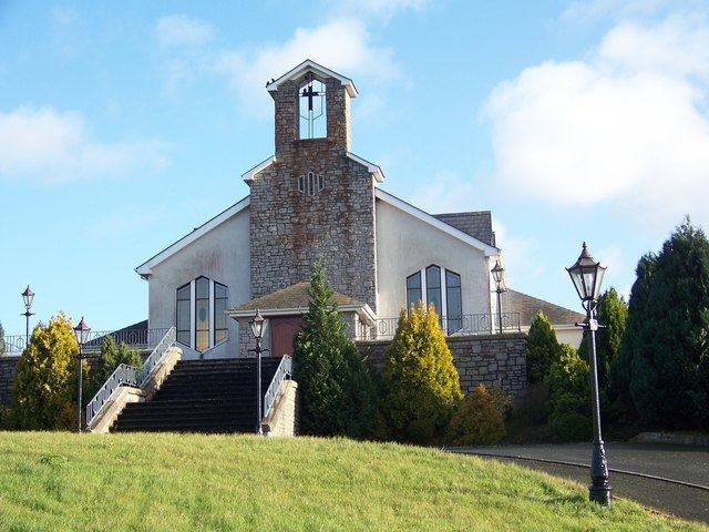
Ballela is a small village and parish in County Down, Northern Ireland. It is about five miles (8 km) east of Banbridge, perched on top of one of the many drumlins that are common in the county. A number of prehistoric ringforts begird the village.
Contents
Map of Ballela, Banbridge, UK
Name
Ballela is within the townland of Ballooly, which was historically spelt as Ballyely. It is believed that these three names all come from Irish: Baile Ailigh, meaning "settlement of the stony place".
Sport
The Ballela area has a long link with Gaelic games, and hurling was first played in Ballela as far back as 1901. The first County Down Senior Hurling Championship win for Ballela Hurling and Camogie Club (Baile Aileach Cumann Lúthchleas Gael) came in the 1936 final played in Castlewellan against Kilclief. Further titles were won in 1937, 1940, 1941, 1948, 1951 and 1952. New playing fields, meeting rooms and changing facilities were developed during 2005 and the pitch was officially opened in 2007. Won the county junior championship in 2015.
Education
A National School that existed at Ballela in 1837 was described as “a small cottage” with 100 Catholic and 10 Presbyterian pupils. A new school in the townland of Shanrod was opened in 1859 and extended in 1861. It became the Catholic school for Ballela for several generations. A new school at Ballela was opened in September 1969 and shut in June 2006. It was between the curate’s house and the Parochial Hall.