
Length 26 km (16 mi) W-E | Width 35 km (22 mi) N-S Elevation 3,311 m | |
 | ||
Mountains | ||
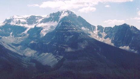
The Ball Range is a mountain range on the Continental Divide between Vermilion Pass and Red Earth Pass in Kootenay National Park, Canada. The range is named after John Ball, a politician who helped secure funding for the Palliser Expedition.
It extends over 465 km² (179 mi²), and measures 35 km (22 mi) from North to South and 26 km (16 mi) from East to West
Peaks
This range includes the following mountains and peaks:
References
Ball Range Wikipedia(Text) CC BY-SA