
Intercommunality Pays de Nay Area 3.64 km² | Canton Nay-Ouest Population (2010) 367 Local time Wednesday 12:26 AM | |
 | ||
Weather 5°C, Wind S at 8 km/h, 77% Humidity | ||
Baliros is a French commune in the Pyrénées-Atlantiques department in the Nouvelle-Aquitaine region of south-western France.
Contents
- Map of Baliros France
- Geography
- Places and hamlets
- Toponymy
- History
- Administration
- Inter communality
- Demography
- Economy
- Sites and monuments
- Facilities
- References
Map of Baliros, France
The inhabitants of the commune are known as Balirosiens or Balirosiennes.
Geography
Baliros is located some 12 km south-east of Pau just west of Bordes. Access to the commune is by the D37 road from Narcastet in the north which passes through the centre of the commune and the village before continuing south to Pardies-Piétat. The village is served by bus routes 809, 810, and 811 of the Interurban Network of Pyrenees-Atlantiques which connect Pau with Arthez-d'Asson. The commune is forested west of the village with the eastern side farmland.
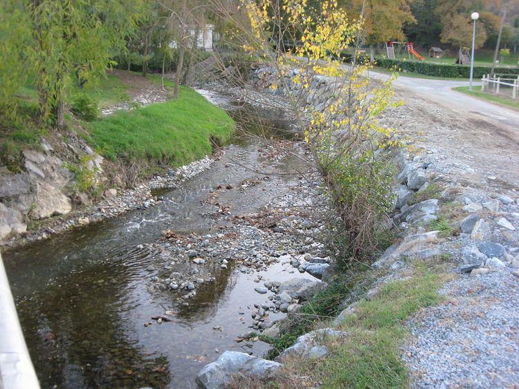
The Gave de Pau flows north along the eastern border of the commune although it is not the communal border. The Luz river flows from the south-west of the commune north through the village to join the Gave de Pau at the northern border of the commune. The Gest joins the Luz in the south of the commune. The Escourre flows north from the south-eastern corner of the commune to join the Luz north of the village.
Places and hamlets
Toponymy
Michel Grosclaude proposed the Latin etymology of the surname Valerus with the Aquitaine suffix -ossum giving "Domain of Valerus".
The following table details the origins of the commune name.
Sources:
Origins:
History
Paul Raymond noted on page 20 of his 1863 dictionary that in 1385 Baliros had 11 fires and depended on the bailiwick of Pau.
Administration
List of Successive Mayors
(Not all data is known)
Inter-communality
The commune is part of six inter-communal structures:
Demography
In 2010 the commune had 367 inhabitants. The evolution of the number of inhabitants is known from the population censuses conducted in the commune since 1793. From the 21st century, a census of communes with fewer than 10,000 inhabitants is held every five years, unlike larger communes that have a sample survey every year.
Sources : Ldh/EHESS/Cassini until 1962, INSEE database from 1968 (population without double counting and municipal population from 2006)
Economy
The commune is part of the Appellation d'origine contrôlée (AOC) zone of Ossau-iraty.
Sites and monuments
The Parish Church of Saint Peter (1658) is registered as an historical monument.
Facilities
Baliros is a member of the Inter-communal Educational Grouping (RPI) of Baliros - Pardies-Piétat - Saint-Abit which runs the Baliros and Pardies-Piétat primary schools.