
District Vizianagaram PIN 535557 Elevation 76 m | Time zone IST (UTC+5:30) Vehicle registration AP–35 Local time Wednesday 4:37 AM | |
 | ||
Weather 21°C, Wind W at 0 km/h, 83% Humidity | ||
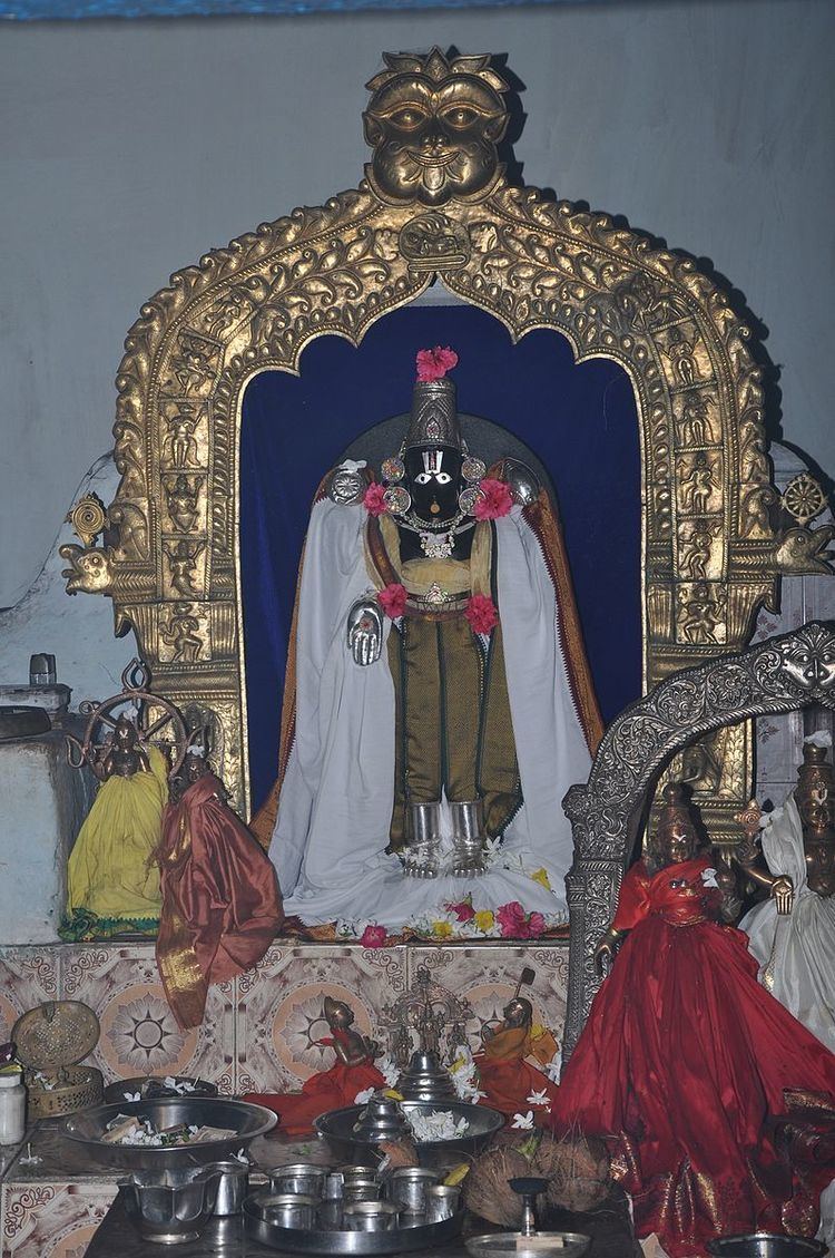
Venkateswara swamy temple balijipeta
Baliji-peta or Baligi-peta is a village in Vizianagaram district of the Indian state of Andhra Pradesh. According to some historians, most of the people of Original Balija caste have migrated from this village.
Contents
- Venkateswara swamy temple balijipeta
- Map of Balijipeta Andhra Pradesh 535557
- Balijipeta waterblost2014
- Geography
- Demography
- Assembly constituency
- References
Map of Balijipeta, Andhra Pradesh 535557
Balijipeta waterblost2014
Geography
Balijipeta is located at 18.37°N 83.31°E / 18.37; 83.31. It has an average elevation of 76 metres (249 ft).It is 240 ft above sea level at the distance of 103 km from Visakhapatnam.
Demography
Balijipeta mandal has a population of 62,787 in 2001. Males consists of 31,216 and females 31,571 of the population. The average literacy rate is 48% below the national average of 59.5%. Male literacy rate is 59% and that of females 33%.
Assembly constituency
Balijipeta was a Legislative Assembly Constituency of Andhra Pradesh in 1955 and 1962. It was later merged with Vunukuru Constituency. Later has been considered in Parvathipuram Constituency.