
Postal code 7730 Population 163,191 (1991) | Time zone BST (UTC+6) Area 242.5 km² | |
 | ||
Website District Portal Upazilla Portal | ||
Baliakandi (Bengali: বালিয়াকান্দি) is an Upazila of Rajbari District in the Division of Dhaka, Bangladesh.
Contents
Geography
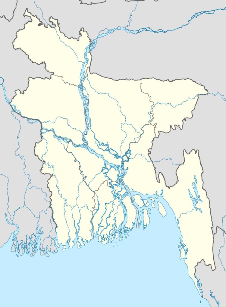
Baliakandi is located at 23.6352457°N 89.5495388°E / 23.6352457; 89.5495388 . It has 28668 households and total area 242.53 km².
Demographics
As of the 1991 Bangladesh census, Baliakandi has a population of 163191. Males constitute 51.45% of the population, and females 48.55%. This Upazila's eighteen up population is 80752. Baliakandi has an average literacy rate of 26.4% (7+ years), and the national average of 32.4% literate.
Administration
Baliakandi has 7 Unions, 150 Mauzas/Mahallas, and 257 villages.
References
Baliakandi Upazila Wikipedia(Text) CC BY-SA