
Elevation 142 m (466 ft) Website www.bale-valle.hr Local time Tuesday 11:22 PM Postal code 52111 | Time zone CET (UTC+1) Area 81.65 km² Population 1,127 (2011) Area code 52 | |
 | ||
Weather 11°C, Wind S at 26 km/h, 83% Humidity | ||
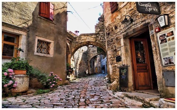
Bale/Valle (Italian: Valle d'Istria, Istro-Romanian: Vale) is a small town and municipality in Istria County, Croatia.
Contents
Map of Bale, Croatia
The origins of the settlement lie in the Roman stronghold of Castrum Vallis, built by Caius Palcrus to protect the salt-pan road from Pula/Pola to Poreč/Parenzo.
The municipality covers a total area of 81.65 km2 (31.53 sq mi) and has a total population of 1,127. The town is officially bilingual, Italian and Croatian, hence both town names are official and equal. Bale/Valle is connected to the Croatian highway network by an exit on the A9 motorway (E751), part of the Istrian Y.
Dinosaur fossils, most notably those of Histriasaurus, were found near the town and are kept at the town museum.
Monuments
References
Bale, Croatia Wikipedia(Text) CC BY-SA