
Country United States County Sullivan ZIP code 47850 Elevation 180 m | State Indiana Area code(s) 812 Local time Tuesday 4:54 PM | |
 | ||
Weather 18°C, Wind S at 24 km/h, 88% Humidity | ||
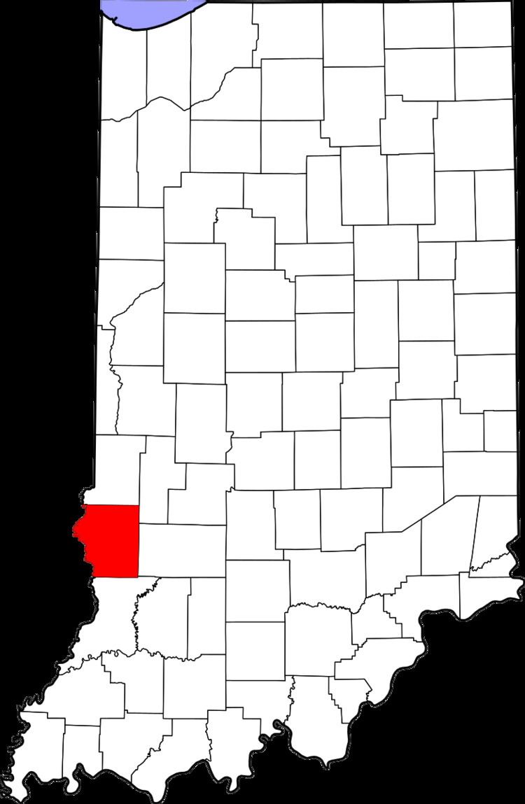
Baldridge is an unincorporated community in Curry Township, Sullivan County, in the U.S. state of Indiana.
Contents
Map of Baldridge, Curry Township, IN 47850, USA
The community is part of the Terre Haute Metropolitan Statistical Area.
Geography
Baldridge is located at 39°13′22″N 87°22′13″W.
References
Baldridge, Indiana Wikipedia(Text) CC BY-SA