
Vehicle registration MP Population 7,585 (2001) ISO 3166 code ISO 3166-2:IN | Time zone IST (UTC+5:30) Elevation 319 m Local time Wednesday 3:09 AM | |
 | ||
Weather 18°C, Wind S at 5 km/h, 50% Humidity | ||
Baldeogarh ka kila
Baldeogarh is a town and a nagar panchayat in Tikamgarh district in the state of Madhya Pradesh, India.
Contents
- Baldeogarh ka kila
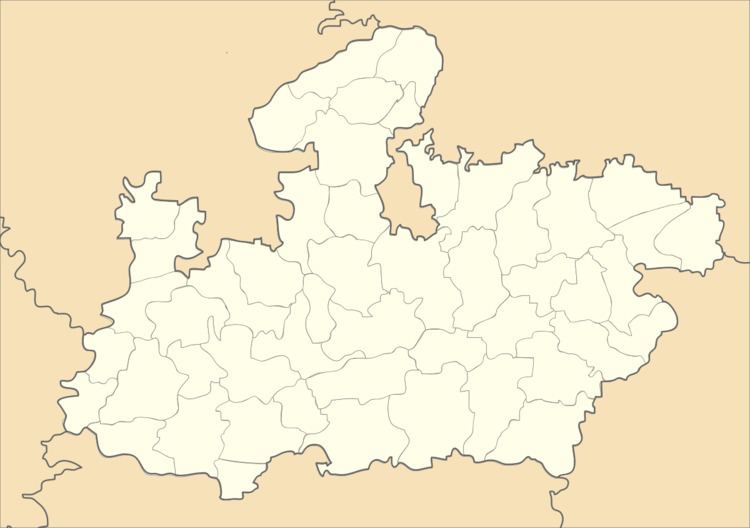
- Map of Baldevgarh Madhya Pradesh 472111
- Baldeogarh video
- Geography
- Demographics
- References
Map of Baldevgarh, Madhya Pradesh 472111
Baldeogarh video
Geography
Baldeogarh is located at 24.75°N 79.07°E / 24.75; 79.07. It has an average elevation of 319 metres (1046 feet). The headquarters town of the Baldeogarh is a tehsil of the same name. It is situated on the Tikamgarh-Chhattarpur road at distance of 26 km. from Tikamgarh. The massive rock fort standing above the beautiful tank Gwal-Sagar, presents a very pleasing sight. The fort is a very fine specimen of its class and one of the most picturesque in the region. A big old Gun is still placed in this fort.
Demographics
As of 2001 India census, Baldeogarh had a population of 7585. Males constitute 52% of the population and females 48%. Baldeogarh has an average literacy rate of 51%, lower than the national average of 59.5%; with 62% of the males and 38% of females literate. 20% of the population is under 6 years of age.