
Barangay ZIP code 6041 Local time Wednesday 4:08 AM | Time zone PHT (UTC+8) Area 333.6 km² Province Cebu | |
 | ||
Weather 24°C, Wind N at 6 km/h, 88% Humidity Neighborhoods Buanoy, Cambuhawe, Arpili, Cansomoroy, Prenza | ||
Balamban city cebu
Balamban is a 1st municipal income class municipality in the province of Cebu, Philippines. According to the 2015 census, it has a population of 87,177. In the 2016 electoral roll, it had 47,548 registered voters.
Contents
Map of Balamban, Cebu, Philippines
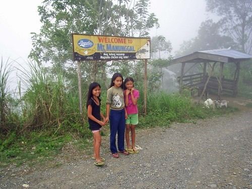
Mount Manunggal in barangay Magsaysay (formerly Sunog) is the site of the plane crash on 17 March 1957 in which died President Ramon Magsaysay, 17 of his presidential staff, and some news correspondents.
Barangays
Balamban comprises 28 barangays:
Demographics
In the 2016 electoral roll, it had 47,548 registered voters, meaning that 55% of the population are aged 18 and over.
Economy
One of the larger shipwright yards of the Philippines (but a long well behind Subic), the municipality double its size within ten years.
References
Balamban Wikipedia(Text) CC BY-SA