
Area 417.2 km² | Time zone BST (UTC+6) Population 336,706 (1991) | |
 | ||
Website Official Map of the Bakerganj Upazila | ||
Bakerganj (Bengali: বাকেরগঞ্জ) is an Upazila of Barisal District in the Barisal Division, Bangladesh.
Contents
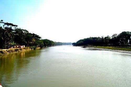
Map of Bakerganj Upazila, Bangladesh
Geography
Bakerganj is located at 22.5500°N 90.3389°E / 22.5500; 90.3389. It has 63,177 households and a total area of 417.2 km2 (161.1 sq mi).
Demographics
According to the 1991 Bangladesh census, Bakerganj had a population of 336,706. Males constituted 49.64% of the population, and females 50.36%. The population aged 18 or over was 165,226. Bakerganj had an average literacy rate of 47.1% (7+ years), compared to the national average of 32.4%. It was named according to the name of its then land Lord Aga Bakher Khan. i
Administration
Bakerganj has 14 Unions, 170 Mauzas/Mahallas, and 171 villages.
References
Bakerganj Upazila Wikipedia(Text) CC BY-SA